Home
Images
Vectors
Videos
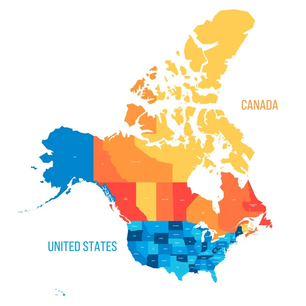
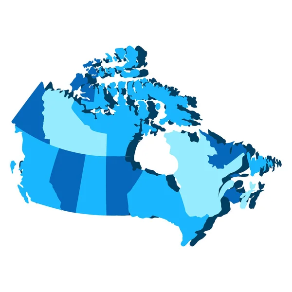
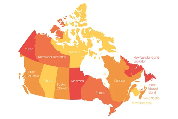
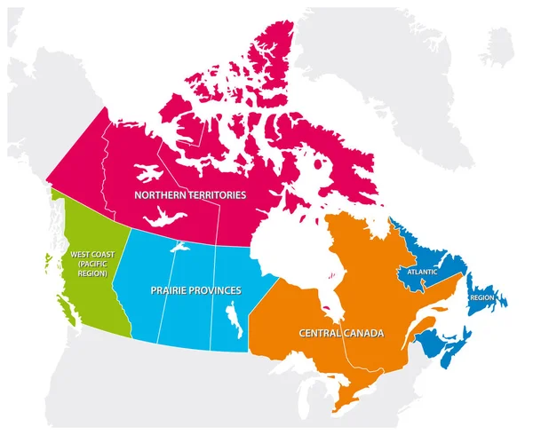
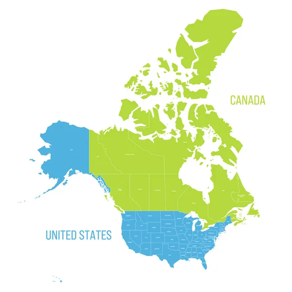
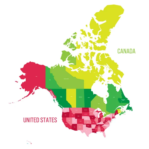
Stock vector United States and Canada political map of administrative divisions. Colorful vector map with labels.
Published:
Apr.10, 2023 20:45:24
Author:
pyty
Views:
3
Downloads:
0
File type:
vector
/
eps
File size:
0.74 MB
Orginal size:
8000
x
8000
px
Available sizes:
S
(500 x 500)
M
(1000 x 1000)
L
(2000 x 2000)
XL
(8000 x 8000)
VECT
(8000 x 8000)
EL0
(8000 x 8000)
Level:
silver
Download Vector
Vector topics:
Green
Color
Blue
Vector
Colorful
Graphic
Business
Label
Border
Two
American
Us
Usa
North
Name
Country
Map
Cartography
Geography
Hawaii
Continent
Land
State
Nevada
America
Political
Administrative
Projection
Canada
United
States
Washington
Territory
Canadian
California
Province
Neighbor
Neighborhood
Florida
Nation
Alaska
Alberta
Michigan
Illinois
Pennsylvania
Labelling
New York
North America
United States
Similar stock vectors
United States And Canada Political Map Of Administrative Divisions. Colorful Vector Map With Labels.
8000 × 8000
United States And Canada Political Map Of Administrative Divisions. Colorful Vector Map With Labels.
8000 × 8000
Canada - Blue Map With Neighboring Countries And Names. Vector Illustration
5552 × 5688
Map Of Provinces And Territories Of Canada
5500 × 4500
Canada Map - Green Hue Colored On Dark Background. High Detailed Political Map Canada And Neighboring Countries With Country, Capital, Ocean And Sea Names Labeling
6000 × 4500
Political Map Of Canada
5315 × 5315
Map Of Canada Divided Into 10 Provinces And 3 Territories. Administrative Regions Of Canada. Orange Map With Labels. Vector Illustration
6000 × 4000
Outline Map Of The Five Canadian Regions
3793 × 3100