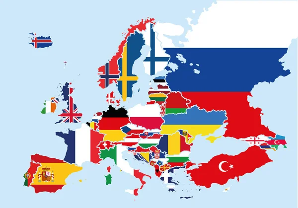
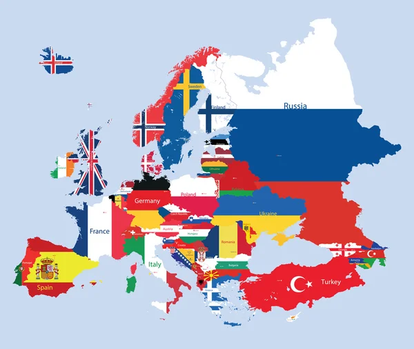
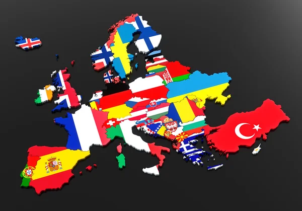
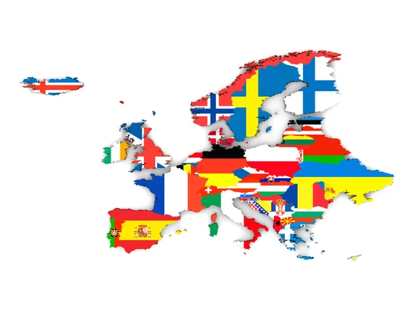
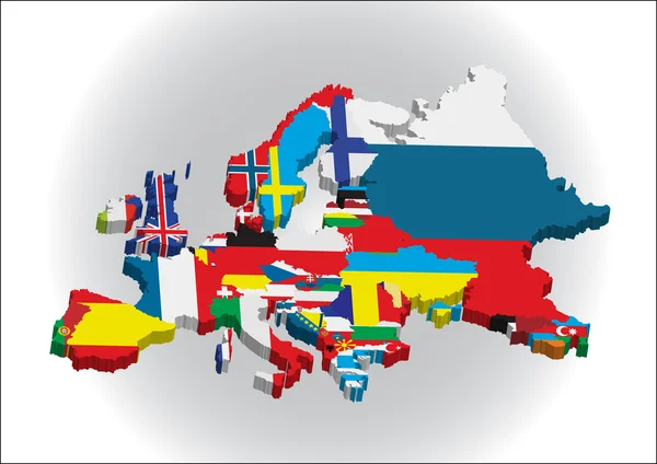
Stock vector Outline maps of the countries in European continent
Published: Jun.11, 2011 20:31:22
Author: bakelyt
Views: 3938
Downloads: 65
File type: vector / eps
File size: 4.19 MB
Orginal size: 4010 x 2834 px
Available sizes:
Level: beginner