Home
Images
Vectors
Videos
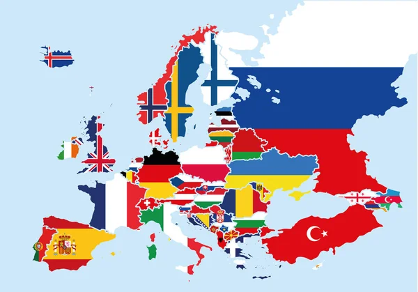
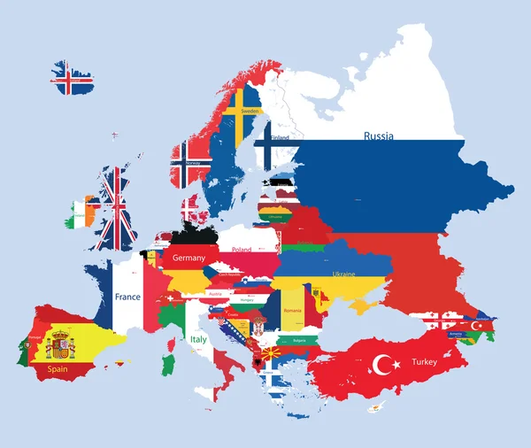
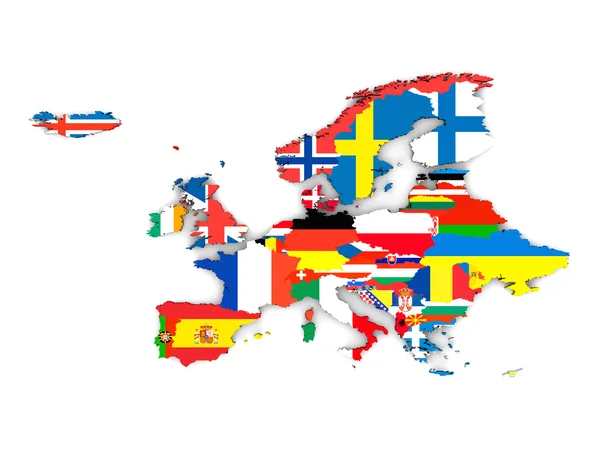
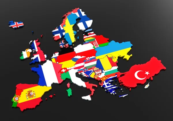
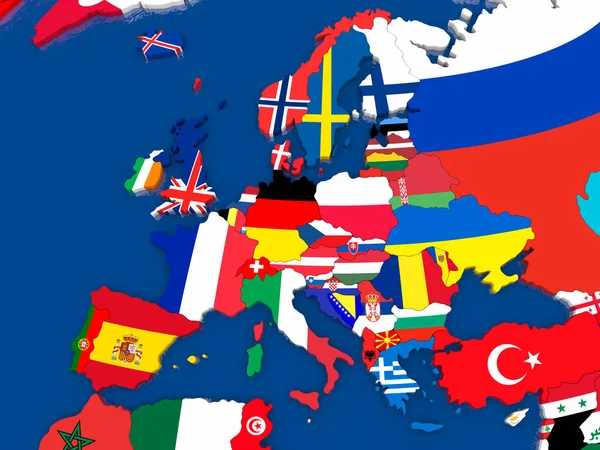
Stock image Europe 3d map with borders marked - each country on the map marked with its own flag - isolated on white - 3D Illustration
Published:
Nov.16, 2020 11:51:04
Author:
mmstudiomk
Views:
40
Downloads:
0
File type:
image
/
jpg
File size:
3.37 MB
Orginal size:
6000
x
4000
px
Available sizes:
S
(500 x 333)
M
(1000 x 667)
L
(2000 x 1333)
XL
(6000 x 4000)
EL0
(6000 x 4000)
Level:
beginner
Download Image
Image topics:
White
Graphic
Illustration
Isolated
Sign
Travel
European
Line
Flag
Modern
Symbol
Concept
Mark
Global
Contour
Earth
World
Tourism
Europe
Outline
Country
Map
Cartography
Geography
Area
National
Continent
Land
State
Location
Place
International
Borders
Political
Geographic
Eu
Marker
Diplomacy
Province
Flags
Nation
Geo
Regions
Copy Space
Place For Text
3d Illustration
Political Map
Flags Of Europe
Europe Countries
Europe 3d Map
Similar stock images
Map Of Europe Colored With The Flags Of Each Country
10735 × 7500
Vector European Map Combined With Flags
7500 × 6331
European States
5000 × 3750
3D Map Europe With Background
6141 × 4960
European Flags
7000 × 4900
Europe Political Map 3d Illustration
6000 × 4000
Map Of Europe With Flags Of Countries. 3D Illustration.
5000 × 3750
Europe Map With Flags Color
6141 × 4960