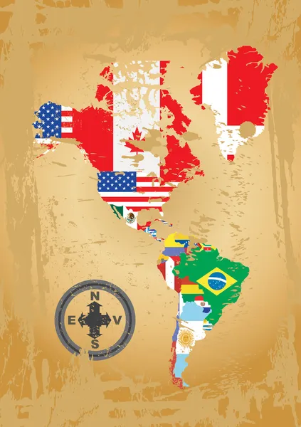
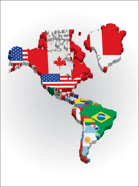
Stock vector Outline maps of the countries in North and South America continent
Published: Jun.11, 2011 20:31:22
Author: bakelyt
Views: 4124
Downloads: 80
File type: vector / eps
File size: 3.76 MB
Orginal size: 2861 x 4051 px
Available sizes:
Level: beginner
Similar stock vectors
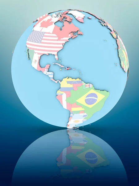
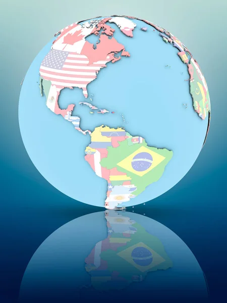
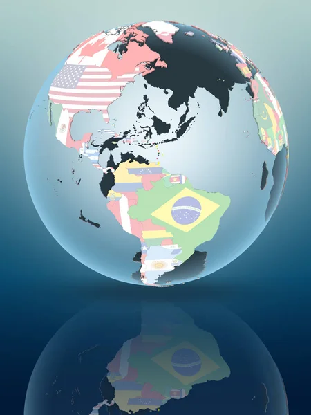
Dominican Republic On Political Globe With National Flags On Reflective Surface. 3D Illustration.
3750 × 5000