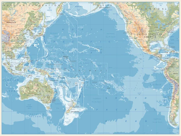
Stock vector Pacific Ocean Physical Map Retro Colors
Published: Nov.11, 2019 12:13:39
Author: Cartarium
Views: 63
Downloads: 3
File type: vector / eps
File size: 23.73 MB
Orginal size: 5176 x 3914 px
Available sizes:
Level: bronze