Home
Images
Vectors
Videos
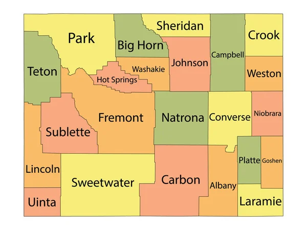
Stock vector Pastel vector administrative map of the Federal State of Wyoming, USA with black borders and name tags of its counties
Published:
Jan.06, 2022 16:31:44
Author:
momcilo.jovanov
Views:
1
Downloads:
0
File type:
vector
/
eps
File size:
0.7 MB
Orginal size:
5608
x
4296
px
Available sizes:
S
(500 x 383)
M
(1000 x 766)
L
(2000 x 1532)
XL
(5608 x 4296)
VECT
(5608 x 4296)
EL0
(5608 x 4296)
Level:
bronze
Download Vector
Vector topics:
Vector
Illustration
Design
Sign
Travel
Mountain
Flag
Road
Position
Symbol
Icon
City
American
Usa
Journey
Outline
District
Direction
Map
Cartography
Land
Topography
America
Patriotism
Unity
Division
Voting
Insignia
Election
County
Wyoming
Coat Of Arms
Cut Out
Travel Destinations
National Flag
No People
Physical Geography
Line Art
Washington Dc
Eastern USA
Western USA
Contour Line
Relief Carving
Relief Map
Topographic Map
Flat Design
In Silhouette
Similar stock vectors
White Vector Administrative Map Of The Federal State Of Wyoming, USA With Black Borders And Name Tags Of Its Counties
5608 × 4296
Colorful County Map With Counties Names Of The US Federal State Of Wyoming
4800 × 3600
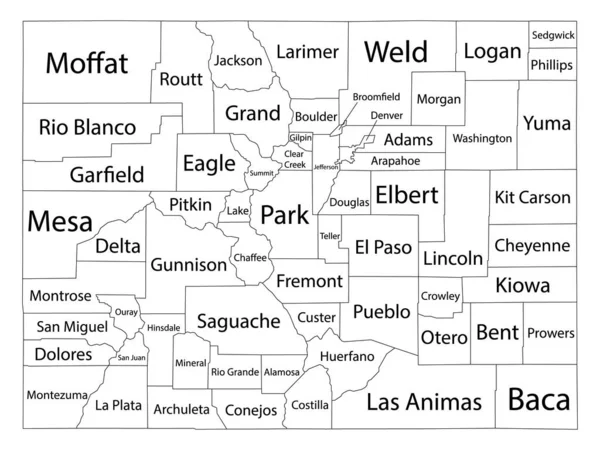
White Vector Map Of The Federal State Of Colorado, USA With Black Borders And Names Of Its Counties
5706 × 4203
White Outline Counties Map With Counties Names Of US State Of Colorado
4800 × 3600
Colorado - Highly Detailed Editable Political Map.
5957 × 4937
White Outline Counties Map With Counties Names Of US State Of Wyoming
4800 × 3600
White Vector Map Of The Federal State Of Montana, USA With Black Borders And Name Tags Of Its Counties
6506 × 3755
Pastel Vector Administrative Map Of The Federal State Of Oregon, USA With Black Borders And Name Tags Of Its Counties
5604 × 4180