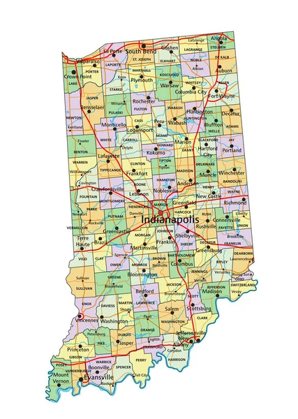
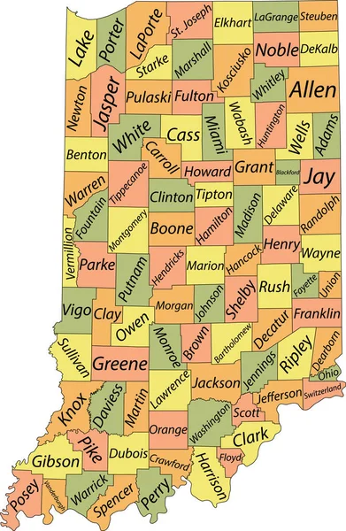
Stock vector Pastel vector map of the Federal State of Indiana, USA with black borders and names of its counties
Published: Jul.08, 2021 10:24:56
Author: momcilo.jovanov
Views: 0
Downloads: 0
File type: vector / eps
File size: 1.19 MB
Orginal size: 3986 x 6105 px
Available sizes:
Level: bronze
Similar stock vectors
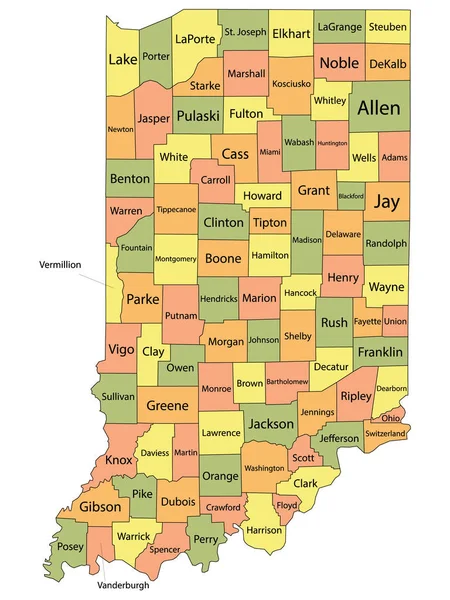

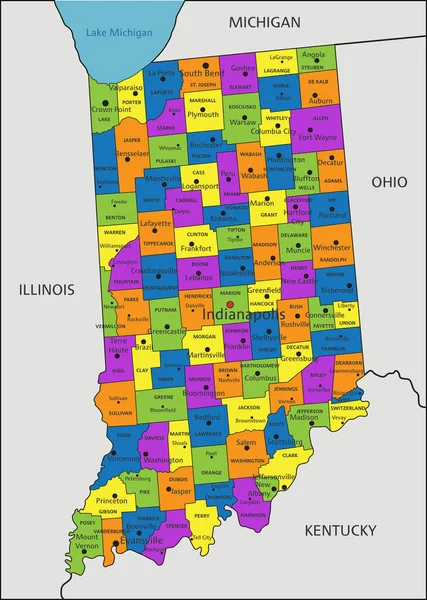
Colorful Indiana Political Map With Clearly Labeled, Separated Layers. Vector Illustration.
3392 × 4765
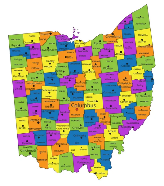
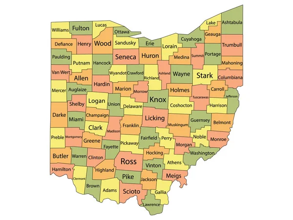
Colorful Ohio Political Map With Clearly Labeled, Separated Layers. Vector Illustration.
3566 × 4040