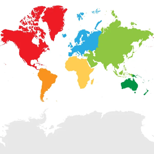
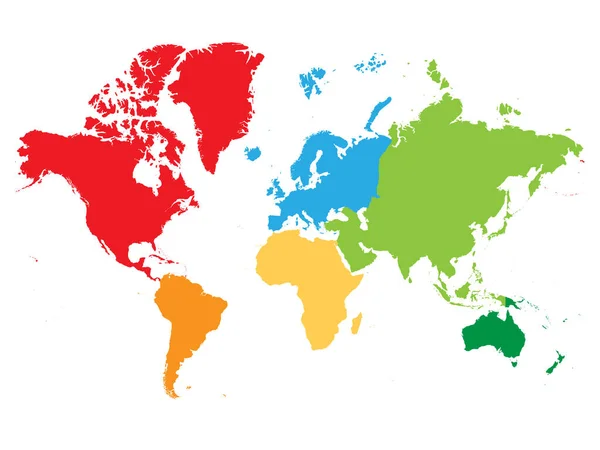
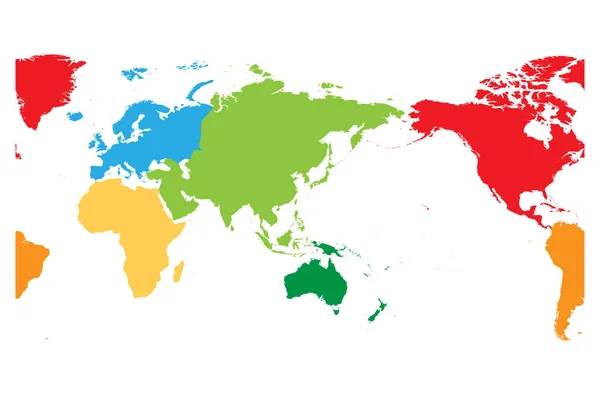
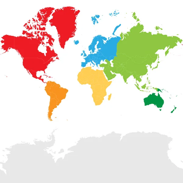
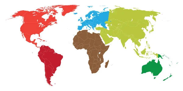
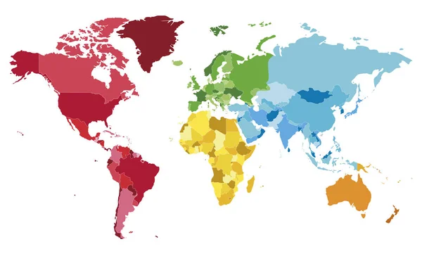
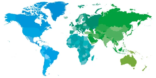
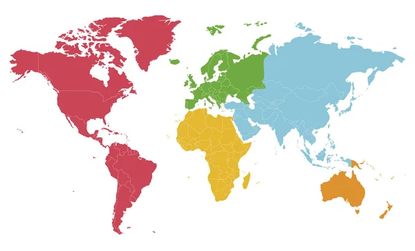
Stock vector Political blank World Map vector illustration with different colors for each continent and isolated on white background. Editable and clearly labeled layers.
Published: Jul.18, 2018 09:50:48
Author: asantosg
Views: 507
Downloads: 6
File type: vector / eps
File size: 7.74 MB
Orginal size: 5600 x 3400 px
Available sizes:
Level: bronze