Home
Images
Vectors
Videos
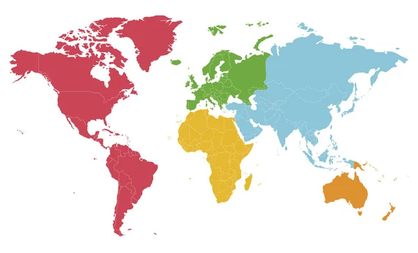
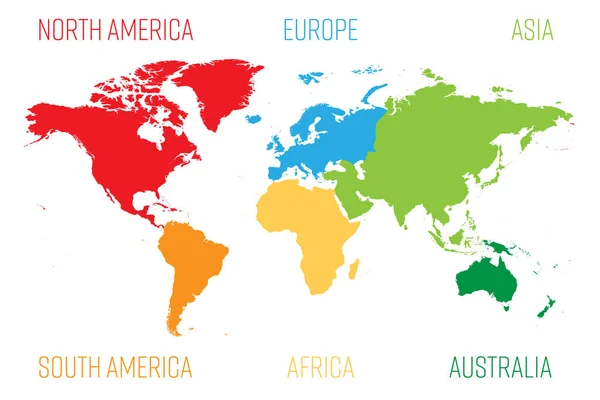
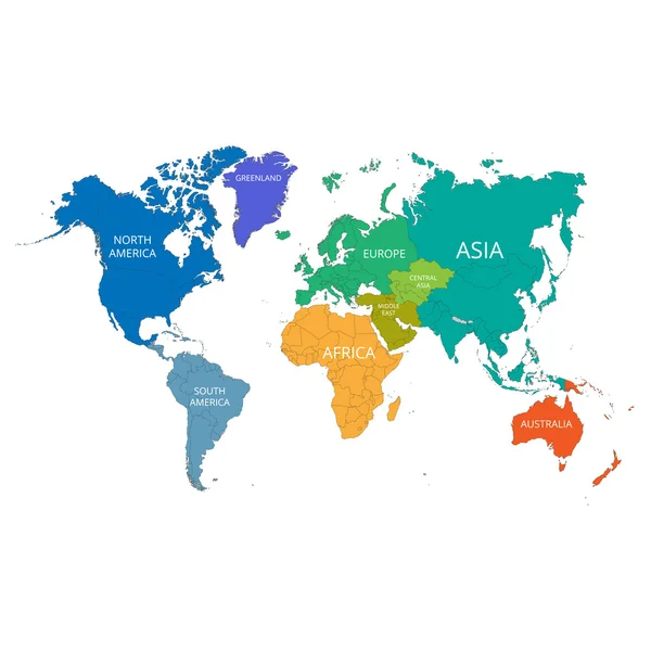
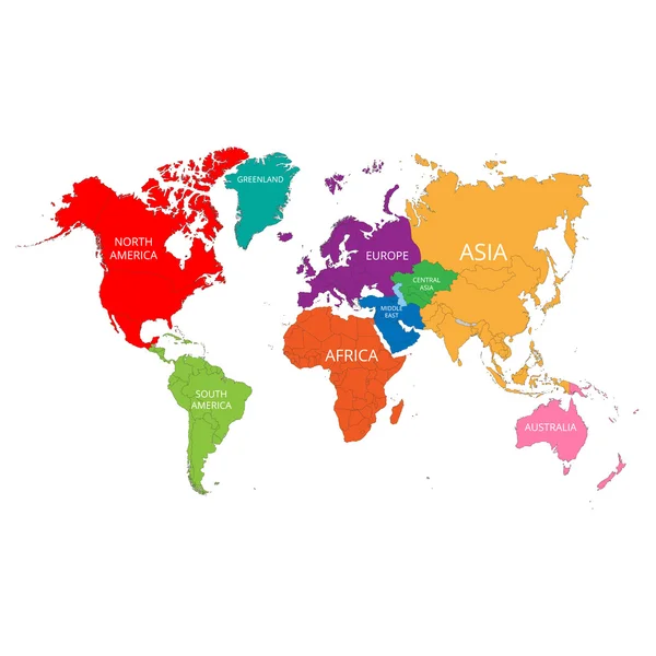
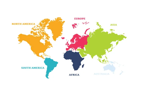
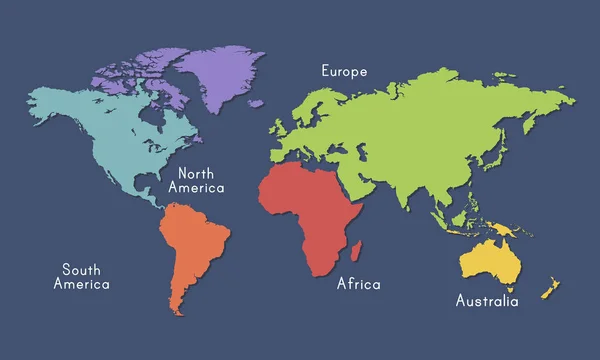
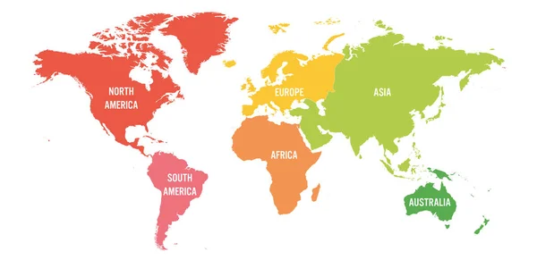
Stock vector World map divided into six continents in different color. Colored map of the World with countries borders. Vector stock
Published:
Jan.14, 2020 08:39:50
Author:
Fayethequeen93
Views:
71
Downloads:
0
File type:
vector
/
eps
File size:
40.76 MB
Orginal size:
5000
x
3539
px
Available sizes:
S
(500 x 354)
M
(1000 x 708)
L
(2000 x 1416)
XL
(5000 x 3539)
VECT
(5000 x 3539)
EL0
(5000 x 3539)
Level:
bronze
Download Vector
Vector topics:
Green
Color
Red
Yellow
Blue
Vector
Background
Colorful
Graphic
Colored
Illustration
Shape
Business
Label
Travel
Orange
Border
Gray
Pastel
Global
Earth
Planet
World
Usa
Ocean
North
Europe
Globe
East
South
Map
Cartography
Geography
Africa
Continent
Land
Ground
Asia
Chart
America
Australia
Region
Oceania
Atlas
Zone
Colorless
Regional
Discolor
North America
South America
Similar stock vectors
Political Blank World Map Vector Illustration With Different Colors For Each Continent And Isolated On White Background. Editable And Clearly Labeled Layers.
5600 × 3400
World Map Divided Into Six Continents. Each Continent In Different Color. Simple Flat Vector Illustration
6000 × 4000
World Map With The Names Of The Continents. Vector Illustration.
4167 × 4167
World Map With The Names Of The Continents. Vector Illustration.
4167 × 4167
Vector World Map With Continent In Different Color ( Flat Design )
6250 × 4167
World Continents On Map
3000 × 1800
World Map Vector Illustration Infographics With Highlighted 6 Largest Countries By Area
6000 × 4000
World Map Divided Into Six Continents. Each Continent In Different Color. Simple Flat Vector Illustration
6000 × 3000