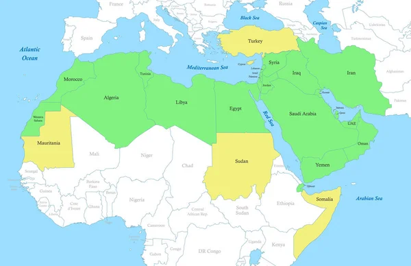
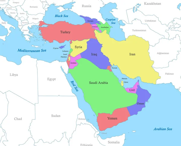
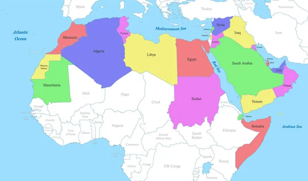
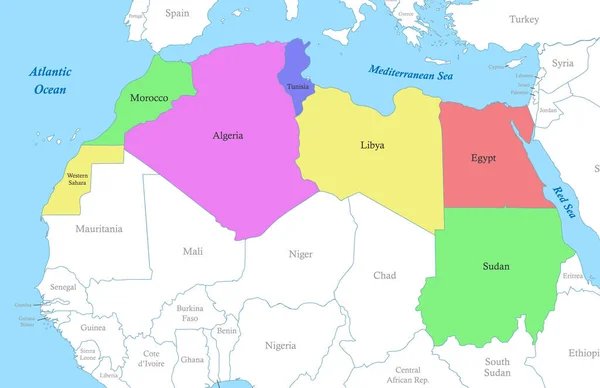
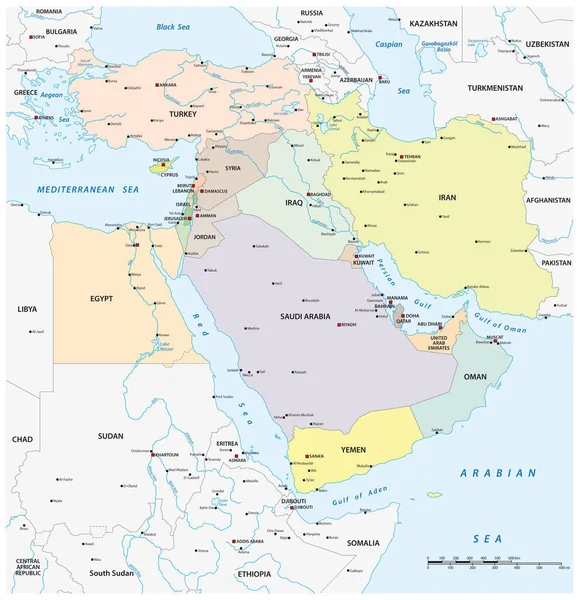
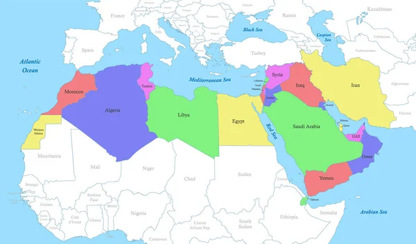
Stock vector Political color map of MENA region with borders of the states. Middle East and North Africa
Published: Mar.21, 2023 18:54:57
Author: grebeshkovmaxim@gmail.com
Views: 30
Downloads: 2
File type: vector / eps
File size: 3.7 MB
Orginal size: 6800 x 4000 px
Available sizes:
Level: silver