Home
Images
Vectors
Videos
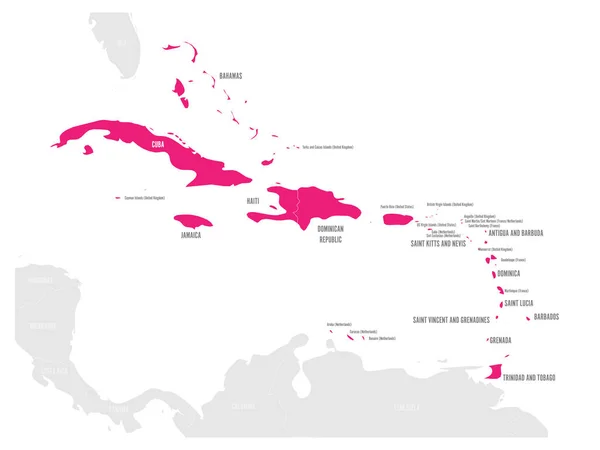
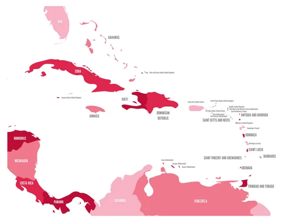
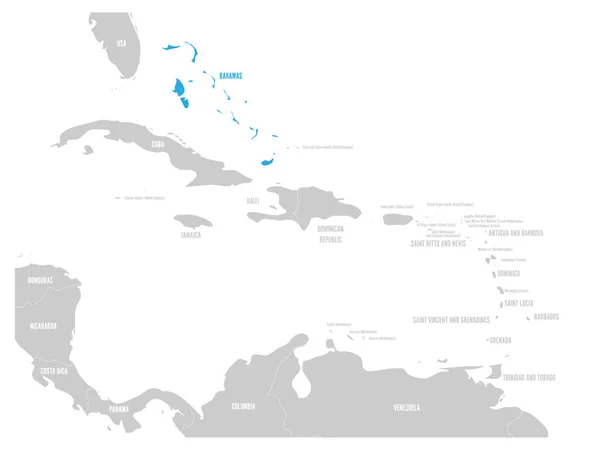
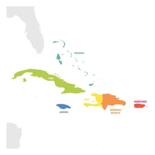
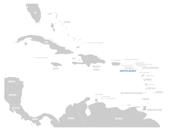
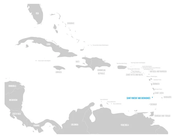
Stock vector Political map of Carribean. Pink highlighted sovereign states and blue dependent territories. Simple flat vector illustration
Published:
Jan.05, 2018 07:27:47
Author:
pyty
Views:
59
Downloads:
0
File type:
vector
/
eps
File size:
1.2 MB
Orginal size:
6000
x
4500
px
Available sizes:
S
(500 x 375)
M
(1000 x 750)
L
(2000 x 1500)
XL
(6000 x 4500)
VECT
(6000 x 4500)
EL0
(6000 x 4500)
Level:
silver
Download Vector
Vector topics:
Blue
Vector
Illustration
Label
Sea
Border
Gray
Pink
Contour
Grey
American
Globe
Name
Outline
Country
Map
Cartography
Geography
Area
Land
Mexican
State
America
Island
Political
Administrative
Gulf
Region
Caribbean
Central
Atlas
Jamaica
Cuba
Dominican
Barbuda
Regional
Trinidad
Cayman
Bahamas
Belize
Antigua
Dominica
Barbados
Grenada
Haiti
Tobago
Antilles
Hispaniola
Puerto Rico
Caribbean Map
Similar stock vectors
Political Map Of Carribean. Pink Highlighted States And Dependent Territories. Simple Flat Vector Illustration
6000 × 4500
Political Map Of Carribean. Blue Highlighted States And Dependent Territories. Simple Flat Vector Illustration
6000 × 4500
Political Map Of Carribean. Green Highlighted States And Dependent Territories. Simple Flat Vector Illustration
6000 × 4500
Central America And Caribbean States Political Map In Four Shades Of Maroon With Black Country Names Labels. Simple Flat Vector Illustration
6000 × 4500
Bahamas Blue Marked In The Map Of Caribbean. Vector Illustration
6000 × 4500
Caribbean Region. Colorful Map Of Countries In Caribbean Sea In Central America. Vector Illustration
6000 × 6000
Saint Kitts And Nevis Blue Marked In The Map Of Caribbean. Vector Illustration
6000 × 4500
Saint Vincent And Grenadines Blue Marked In The Map Of Caribbean. Vector Illustration
6000 × 4500