
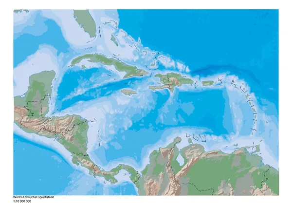
Stock image Caribbean Map

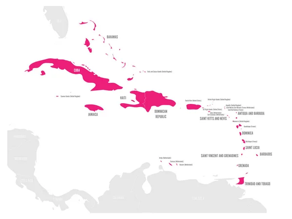
Political Map Of Carribean. Pink Highlighted States And Dependent Territories. Simple Flat Vector Illustration
Vector, 1.2MB, 6000 × 4500 eps

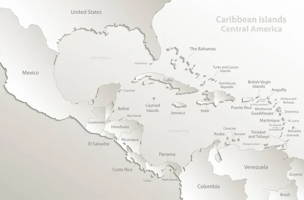
Caribbean Islands Central America Map, State Names, Separate States, Card Blue White 3D Vector
Vector, 7.65MB, 5011 × 3300 eps
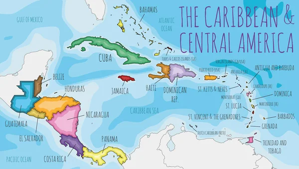
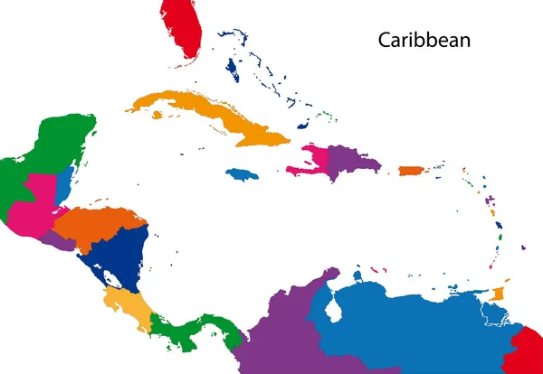
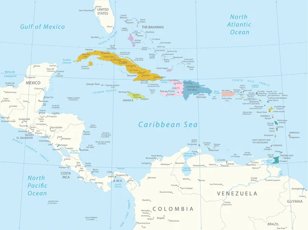
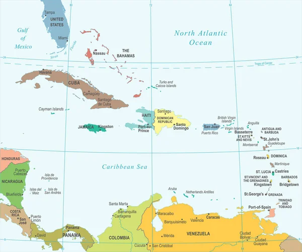
Political Caribbean And Central America Map Vector Illustration With Different Colors For Each Country. Editable And Clearly Labeled Layers.
Vector, 4.34MB, 6000 × 3400 eps

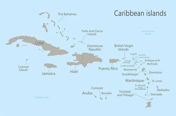
Caribbean Islands Map Central America, State Names Card Colors 3D Vector
Vector, 7.4MB, 5011 × 3300 eps
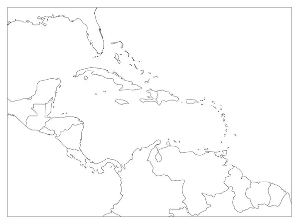
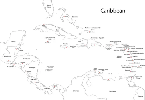
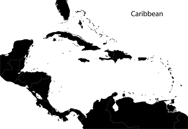
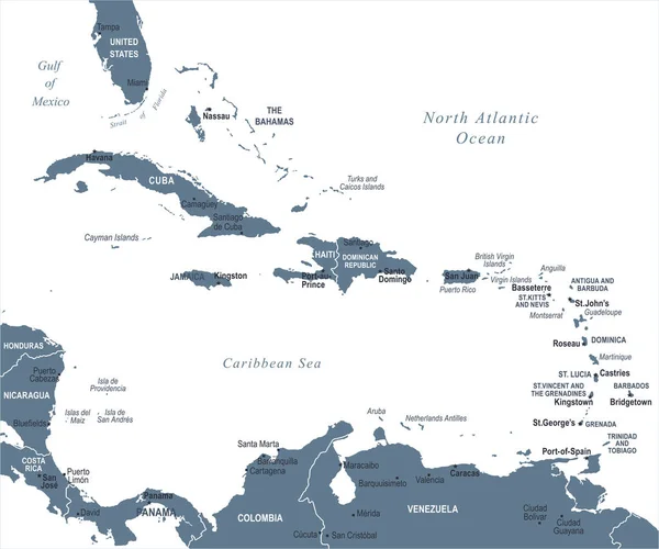
Central America And Carribean States Political Map. Black Outline Borders. Simple Flat Vector Illustration
Vector, 1.73MB, 8000 × 6000 eps
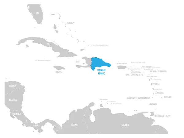
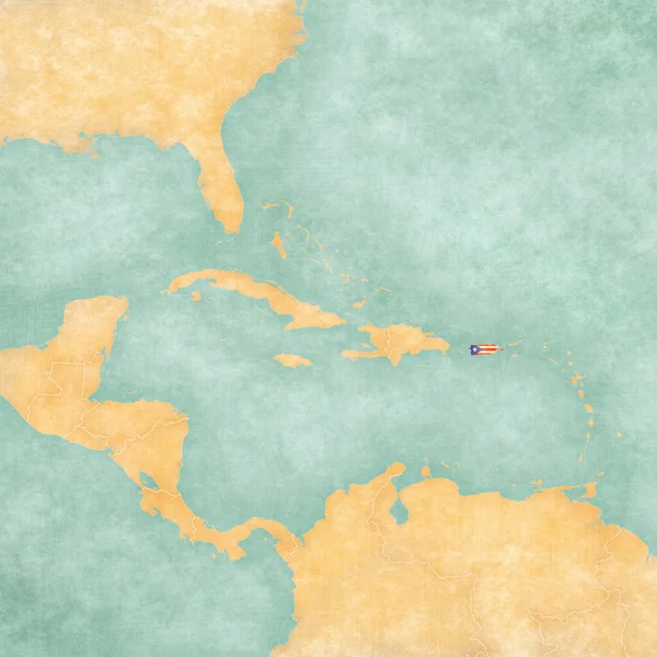
Dominican Republic Blue Marked In The Map Of Caribbean. Vector Illustration
Vector, 1.19MB, 6000 × 4500 eps

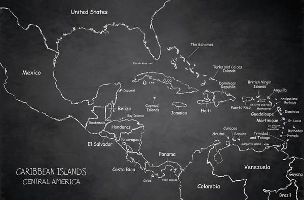
Caribbean Islands Central America Map, State Names, Separate States, Blackboard Chalkboard Vector
Vector, 10.19MB, 5011 × 3300 eps

Caribbean Islands Central America Map, New Political Detailed Map, Separate Individual States, With State Names, Isolated On White Background 3D Vector
Vector, 7.11MB, 5011 × 3300 eps
Caribbean Islands Central America Map, Separate States, Card Paper 3D Natural Vector
Vector, 7.72MB, 5011 × 3300 eps
Caribbean Islands Central America Map, State Names, Separate States, Card Blue White 3D Vector
Vector, 7.65MB, 5011 × 3300 eps
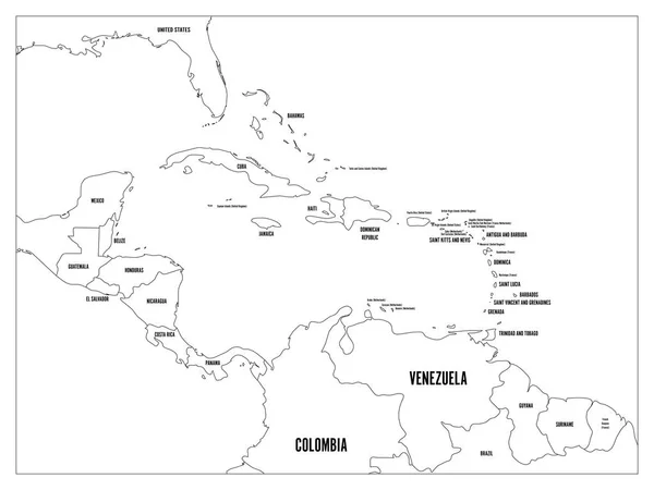
Central America And Carribean States Political Map. Black Outline Borders With Black Country Names Labels. Simple Flat Vector Illustration
Vector, 2.59MB, 8000 × 6000 eps
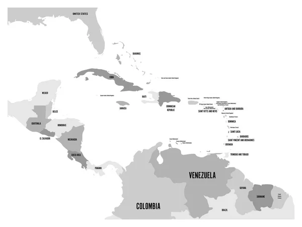
Central America And Carribean States Political Map In Four Shades Of Grey With Black Country Names Labels. Simple Flat Vector Illustration
Vector, 2.42MB, 8000 × 6000 eps

Political Map Of Carribean. Blue Highlighted States And Dependent Territories. Simple Flat Vector Illustration
Vector, 1.2MB, 6000 × 4500 eps


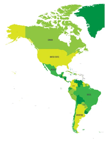
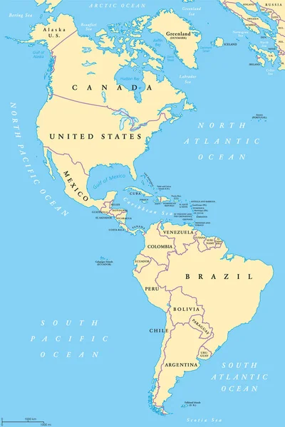
Political Map Of Americas In Four Shades Of Green On White Background. North And South America With Country Labels. Simple Flat Vector Illustration
Vector, 1.69MB, 4572 × 6001 eps

Central America And Carribean States Political Map With Country Names Labels. Simple Flat Vector Illustration
Vector, 0.97MB, 8000 × 6000 eps
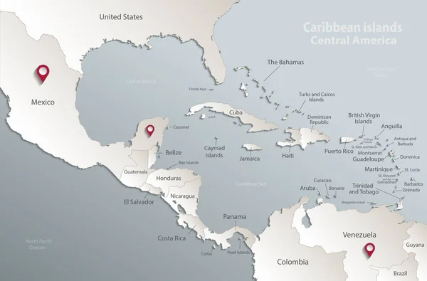
Caribbean Islands Central America Map, State Names, Separate States, Glass Card Paper 3D Vector
Vector, 8.07MB, 5011 × 3300 eps


Central America And Carribean States Political Map With Country Names Labels. Simple Flat Vector Illustration
Vector, 0.97MB, 8000 × 6000 eps


Caribbean Islands Central America Map, State Names, Separate States, Card Blue White 3D Raster Blank
Image, 1.23MB, 5011 × 3300 jpg
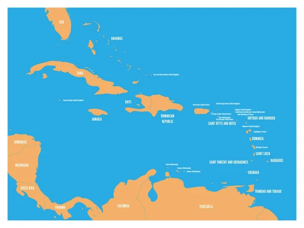
Central America And Carribean States Political Map. Yellow Land With Black Country Names Labels On Blue Sea Background. Simple Flat Vector Illustration
Vector, 1.2MB, 6000 × 4500 eps
Page 1 >> Next