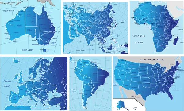
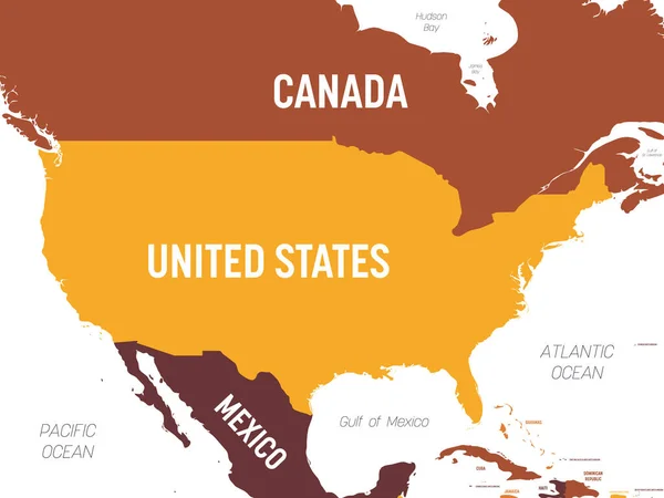
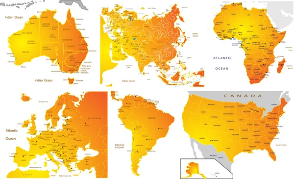
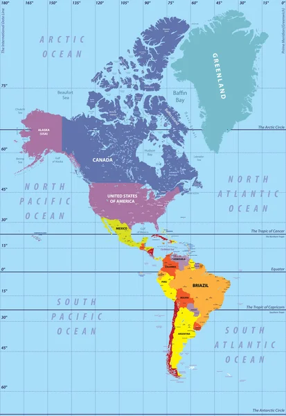
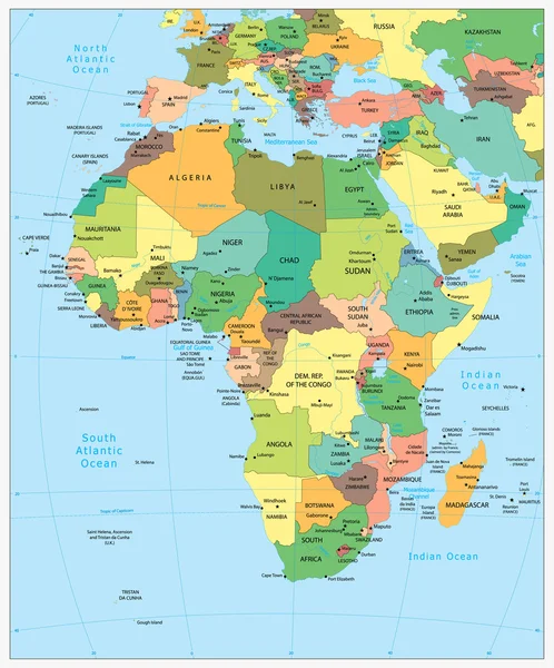
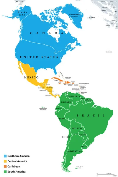
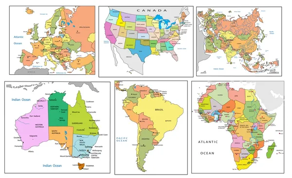
Stock vector Political map of continents
Published: Feb.04, 2010 13:53:46
Author: jelen80
Views: 3606
Downloads: 61
File type: vector / eps
File size: 4.3 MB
Orginal size: 4125 x 2525 px
Available sizes:
Level: silver