Home
Images
Vectors
Videos
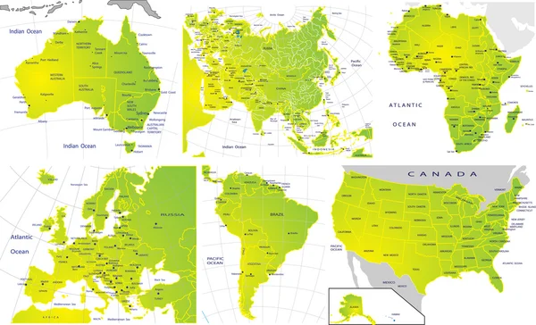
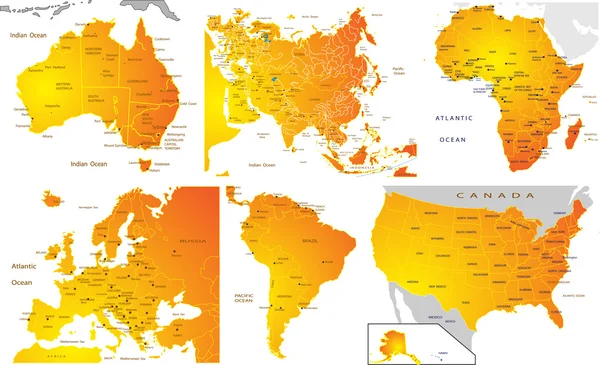
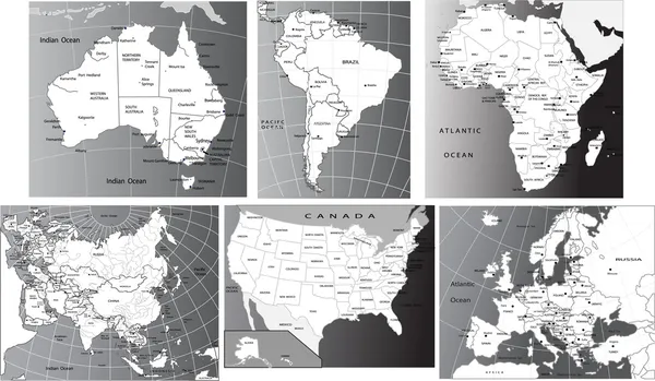
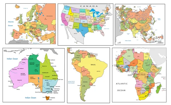
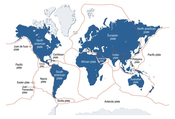
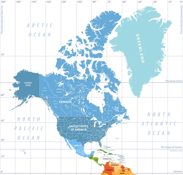
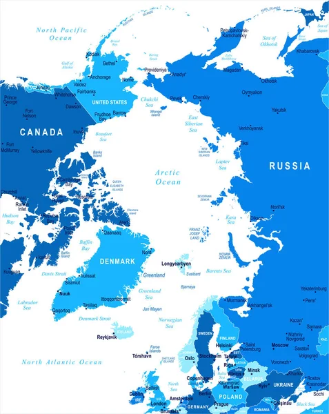
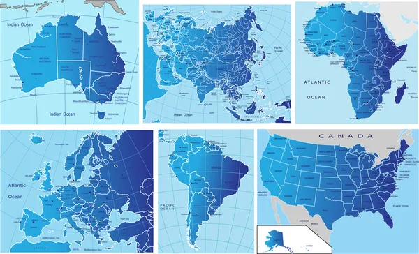
Stock vector Political map of continents
Published:
Feb.04, 2010 16:33:21
Author:
jelen80
Views:
1983
Downloads:
48
File type:
vector
/
eps
File size:
4.37 MB
Orginal size:
3695
x
2246
px
Available sizes:
S
(500 x 304)
M
(1000 x 608)
L
(2000 x 1216)
XL
(3695 x 2246)
VECT
(3695 x 2246)
EL0
(3695 x 2246)
Level:
silver
Download Vector
Vector topics:
Color
White
Blue
Vector
Background
Colorful
Graphic
Illustration
Design
Isolated
Black
Line
Concept
Earth
Usa
Gradient
Ocean
North
Europe
Globe
Raster
East
South
Illustrated
West
Map
Geography
Africa
Continent
Worldwide
Asia
America
Countries
International
Political
Of
Do
Europa
Continents
And
Equator
2d
Sul
Mapa
Cartina
North America
Politica
Politico
Europe Map
America Map
Similar stock vectors
Set 6 Continents And Countries Color Blue
7917 × 5270
Political Map Of Continents
3695 × 2247
Political Map Of Continents
3693 × 2247
Political Map Of Continents
3827 × 2230
Political Map Of Continents
4125 × 2525
Tectonic Plate. Earth's Lithosphere. Scientific Theory. World Map With Major An Minor Plates. Vector Illustration.
5570 × 3811
North America High Detailed Political Map. All Layers Detached And Labeled.
7296 × 6992
Arctic Map - Vector Illustration
5500 × 6915