Home
Images
Vectors
Videos
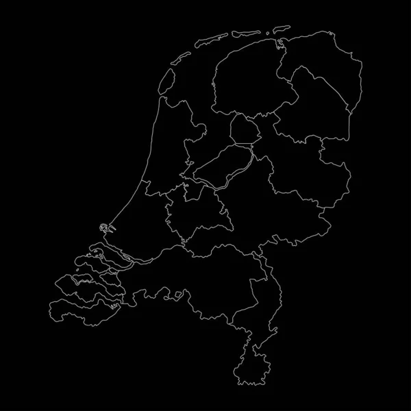
Stock vector political map of Netherlands isolated on white background
Published:
Oct.20, 2020 06:17:16
Author:
agrus1
Views:
1
Downloads:
0
File type:
vector
/
eps
File size:
5.86 MB
Orginal size:
6000
x
3374
px
Available sizes:
S
(500 x 281)
M
(1000 x 562)
L
(2000 x 1125)
XL
(6000 x 3374)
VECT
(6000 x 3374)
EL0
(6000 x 3374)
Level:
bronze
Download Vector
Vector topics:
White
Vector
Background
Illustration
Detail
European
Silhouette
Gray
Symbol
City
Contour
Euro
Netherlands
Holland
Europe
Outline
Country
Map
National
Land
State
Boundary
Political
Administrative
Union
Province
Dutch
Nation
Amsterdam
Rotterdam
Regions
Similar stock vectors
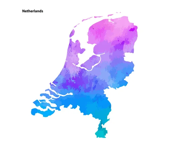
Colourful Watercolour Map Design Of Country Netherlands Isolated On White Background - Vector Illustration
4900 × 3873
Map Of The Country Of Netherlands
4861 × 2431
Netherlands Map. Hand-drawn Country. Unequaled Sketchy Netherlands Map With Regions. Vector Illustration.
5485 × 5485
Backgrounds Of Netherlands
6944 × 3472
Vector Color Detailed Map Of Netherlands With The Administrative Divisions Of The Country, Each Provinces Is Presented Separately And Divided Into Municipalities
7677 × 3223
Netherlands Map With Provinces. Vector Illustration.
8334 × 8334
Topographic Relief Map Of The City Of HAARLEM, NETHERLANDS With Black Contour Lines On Vintage Beige Background
3900 × 6400