Home
Images
Vectors
Videos
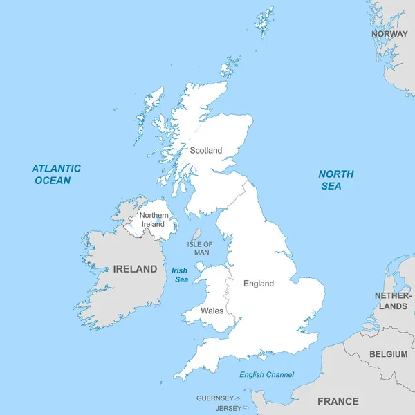
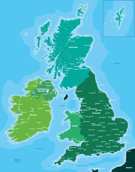
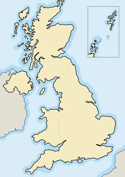
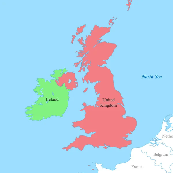
Stock vector Color political map of British Isles with borders of the countries.
Published:
Mar.21, 2023 18:54:57
Author:
grebeshkovmaxim@gmail.com
Views:
3
Downloads:
0
File type:
vector
/
eps
File size:
2.17 MB
Orginal size:
4000
x
4000
px
Available sizes:
S
(500 x 500)
M
(1000 x 1000)
L
(2000 x 2000)
XL
(4000 x 4000)
VECT
(4000 x 4000)
EL0
(4000 x 4000)
Level:
silver
Download Vector
Vector topics:
White
Blue
Vector
Background
Graphic
Illustration
Design
Shape
Label
Sea
European
Border
Modern
Concept
Flat
Simple
Europe
Russia
Name
Country
Map
Continent
Ireland
Land
Continental
Political
Union
Europa
Atlas
Simplified
United Kingdom
British Isles
Similar stock vectors
Political Map Of United Kingdom With Borders With Borders Of Regions And Countries
4000 × 4000
Color Map Of Great Britain And Ireland
4317 × 5512
Map Of United Kingdom
4201 × 7001
Vector Illustrated Blank Map Of UK With Administrative Divisions, And Neighbouring Countries. Editable And Clearly Labeled Layers.
4000 × 4800
UK Blank Map
3905 × 5500
Hand Drawn Map Of Scotland And The British Isles. Colorful Hand Drawn Vector Illustration. Green
6000 × 8302