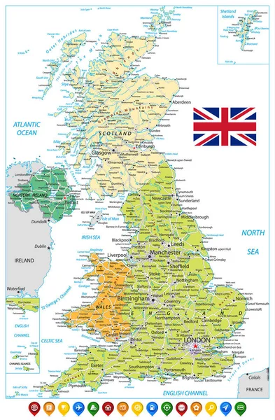
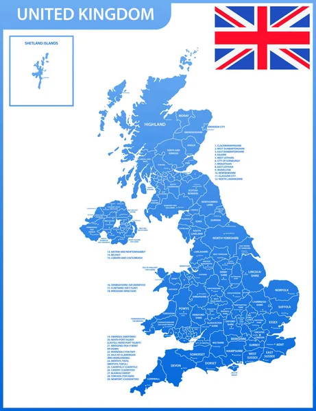
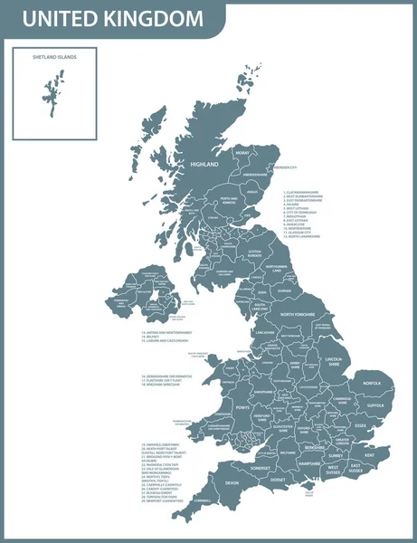
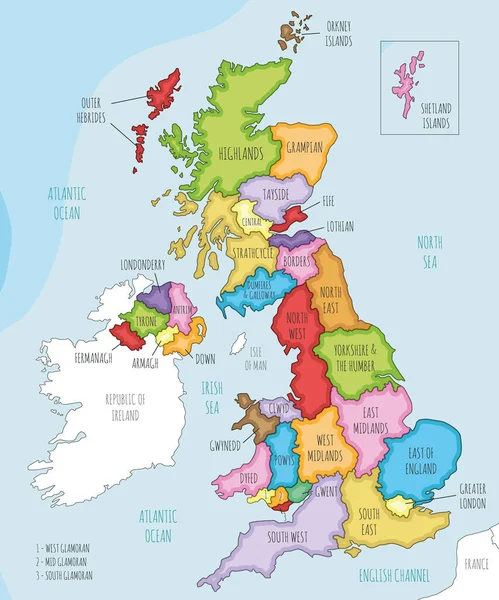
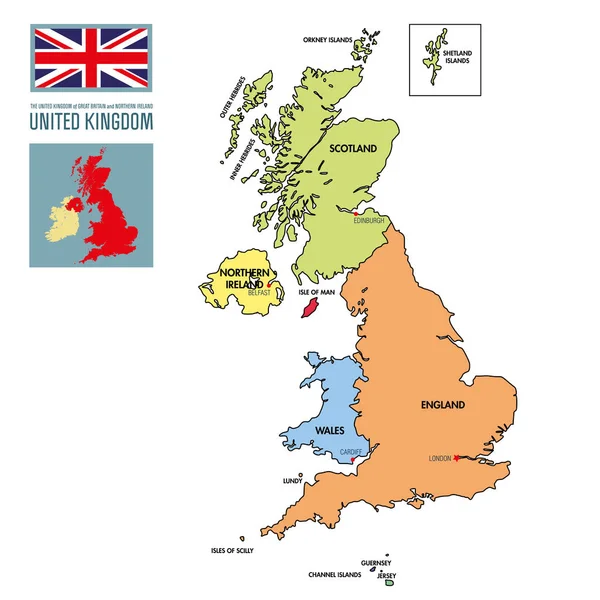
Stock vector Political map of United Kingdom with regions and their capitals
Published: Apr.19, 2017 15:10:11
Author: zlatovlaska2008
Views: 847
Downloads: 2
File type: vector / eps
File size: 1.02 MB
Orginal size: 6000 x 6000 px
Available sizes:
Level: beginner