Home
Images
Vectors
Videos
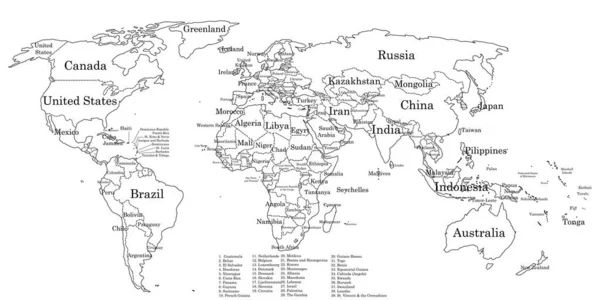
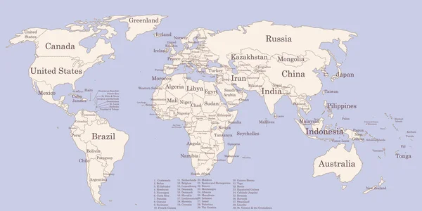
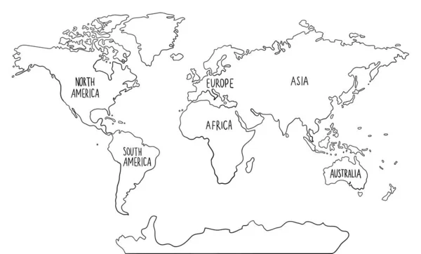
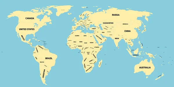
Stock vector Political map of World
Published:
Dec.09, 2015 13:28:19
Author:
pyty
Views:
1158
Downloads:
3
File type:
vector
/
eps
File size:
0.71 MB
Orginal size:
12000
x
6000
px
Available sizes:
S
(500 x 250)
M
(1000 x 500)
L
(2000 x 1000)
XL
(12000 x 6000)
VECT
(12000 x 6000)
EL0
(12000 x 6000)
Level:
silver
Download Vector
Vector topics:
Color
Yellow
White
Blue
Vector
Illustration
Design
Business
Label
Travel
Transportation
Border
Global
Simple
Earth
World
Ocean
Detailed
Europe
Globe
Globalization
Name
Country
Map
Cartography
Geography
National
Africa
Continent
Land
Asia
State
America
Australia
Political
Continents
Oceania
Atlas
Simplified
Geopolitical
World Map
North America
South America
Map Of The World
Map World
Political Map
Vector Map
World Map Vector
Political World Map
World Map With Countries
Similar stock vectors
Contour World Map With Countries Names
6000 × 3000
Hand Drawn Colored Doodle World Map With Continents. North And South America, Europe, Asia, Australia, Africa.
6027 × 3637
Political Map Of World
12000 × 6000
Contour World Map With Countries Names Vintage Colors
6000 × 3000
The Card Can Be Used Immediately And Is Optimized For Printing And Use In Digital Medien..der Color Mode Is Rgb.
5240 × 2784
World Map Divided Into Six Continents In Different Color. World Map 6 Continents Isolated On White Background. Vector Stock
6000 × 3424
Hand Drawn Doodle World Map With Continents. North And South America, Europe, Asia, Australia, Africa.
4765 × 2875
World Map Vector Illustration Hand Drawn Cartoon Art
9800 × 5000