Home
Images
Vectors
Videos
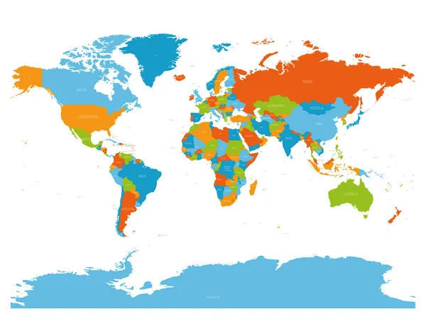
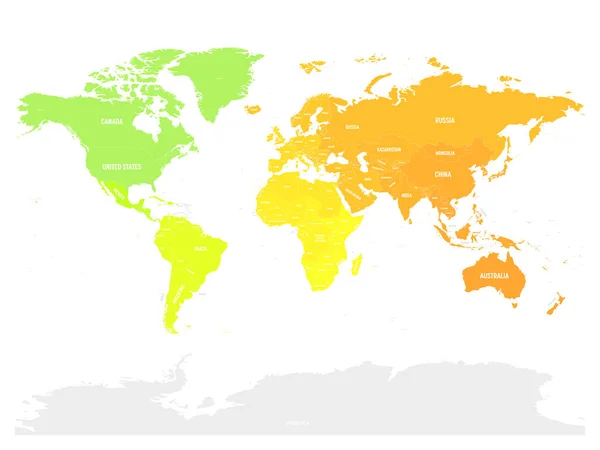
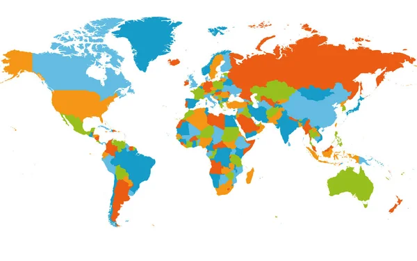
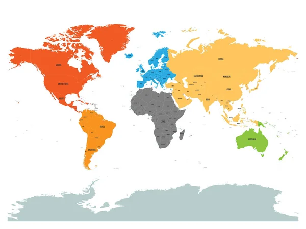
Stock vector Political map of world with Antarctica. Continents in different colors on white background. Black labels with states and significant dependent territories names. High detail vector illustration
Published:
May.15, 2017 05:52:36
Author:
pyty
Views:
880
Downloads:
12
File type:
vector
/
eps
File size:
7.65 MB
Orginal size:
6000
x
4500
px
Available sizes:
S
(500 x 375)
M
(1000 x 750)
L
(2000 x 1500)
XL
(6000 x 4500)
VECT
(6000 x 4500)
EL0
(6000 x 4500)
Level:
silver
Download Vector
Vector topics:
Color
Vector
Background
Colorful
Colored
Isolated
Business
Label
Detail
Sea
Border
Global
Flat
Wallpaper
Education
Web
World
Ocean
Detailed
Europe
Name
Country
Map
Cartography
Geography
Africa
Continent
Worldwide
Asia
Continental
State
Coloured
America
Australia
Political
Territory
Antarctica
Geographical
Worldly
Dependent
World Map
North America
South America
Map World
Map Of World
Political Map
Vector Map
Similar stock vectors
World Map. High Detailed Political Map Of World With Country Names Labeling. 5 Colors Scheme Vector Map On White Background.
6000 × 4500
Colorful Political Map Of World
8000 × 6000
Colorful Hi Detailed Vector World Map Complete With All Countrie
5000 × 5000
Blank Colorful Political Map Of World. Simple Flat Vector Illustration.
8000 × 6000
Colorful Hi Detailed Vector World Map Complete With All Countries Names - Vector Illustration
5000 × 5000
Political Map Of World With Antarctica. Countries In Four Different Colors Without Borders On Dark Grey Background. White Labels With States And Significant Dependent Territories Names. High Detail
6000 × 4500
Colorful Political Map Of World
8000 × 6000
World Map. High Detailed Blank Political Map Of World. 5 Colors Scheme Vector Map On White Background
6000 × 3750