Home
Images
Vectors
Videos
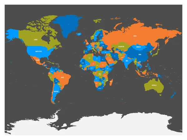
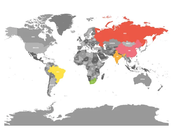
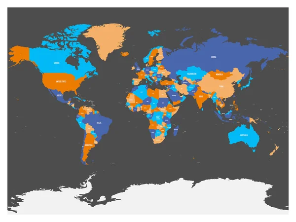
Stock vector Political map of world with Antarctica. Countries in four different colors without borders on dark grey background. White labels with states and significant dependent territories names. High detail
Published:
May.04, 2017 15:11:50
Author:
pyty
Views:
138
Downloads:
0
File type:
vector
/
eps
File size:
4.48 MB
Orginal size:
6000
x
4500
px
Available sizes:
S
(500 x 375)
M
(1000 x 750)
L
(2000 x 1500)
XL
(6000 x 4500)
VECT
(6000 x 4500)
EL0
(6000 x 4500)
Level:
silver
Download Vector
Vector topics:
White
Vector
Background
Illustration
Design
High
Business
Label
Art
Travel
Detail
Sea
Dark
Border
Global
Earth
World
Ocean
Detailed
North
Europe
Globe
South
Name
Country
Map
Cartography
Geography
National
Pacific
Africa
Continent
Land
Worldwide
Asia
State
America
Australia
Island
Political
Atlantic
Oceania
Maps
Atlas
Antarctica
Geographical
World Map
Map Of World
Political Map
Similar stock vectors
Political Map Of World With Antarctica. Countries In Four Different Colors Without Borders On Dark Grey Background. White Labels With States And Significant Dependent Territories Names. High Detail
6000 × 4500
Political Map Of World With Antarctica. Countries In Four Different Colors Without Borders On Dark Grey Background. White Labels With States And Significant Dependent Territories Names. High Detail
6000 × 4500
World Map In Four Colors On White Background. High Detail Political Map With Country Names. Vector Illustration
6000 × 4485
United States And China Highlighted On Political Map Of World. Vector Illustration
6000 × 4500
Countries Of The World. Colorful Vector Map
6000 × 4500
Pacific Centered Political Map Of World. Vector Illustration
6000 × 4500
Simplified Smooth Border World Map
8000 × 6000
World Map With Highlighted Member Countries Of BRICS - Association Of Five Major Emerging National Economies - Brazil, Russia, India, China And South Africa
6000 × 4500