Home
Images
Vectors
Videos
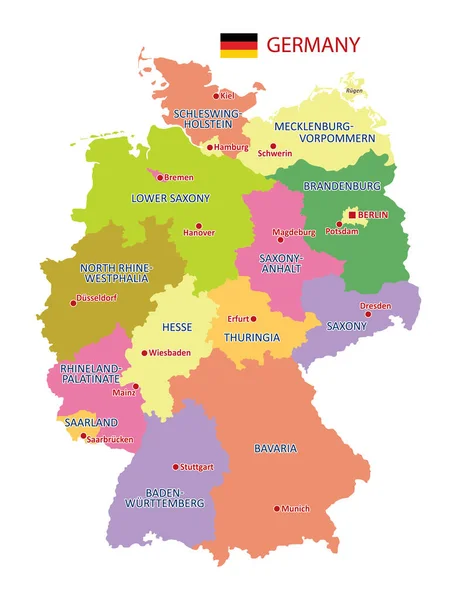
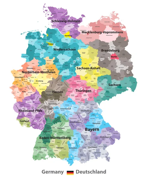
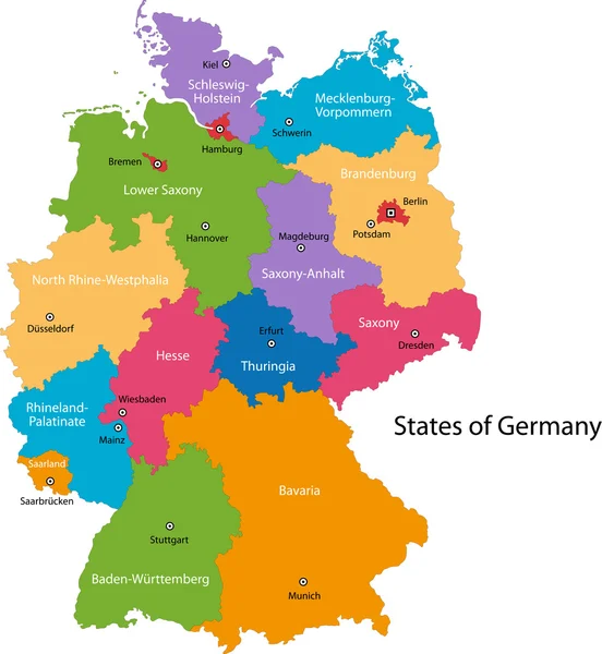
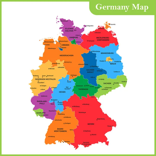
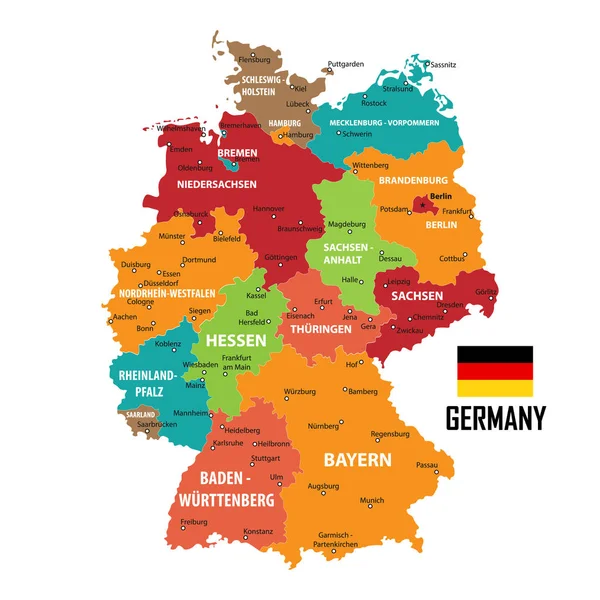
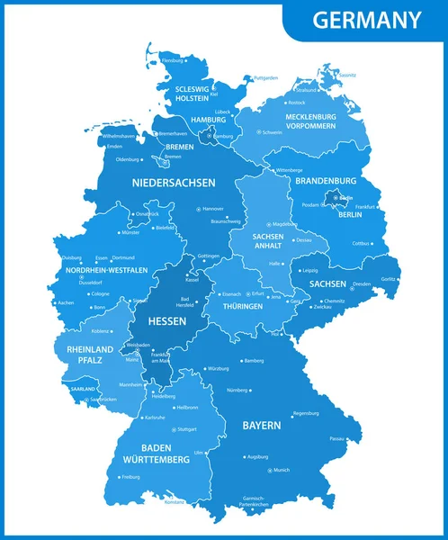
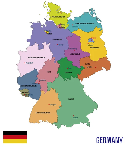
Stock vector Political vector map of Germany with regions and their capitals. All layers detachabel and labeled.
Published:
Jul.09, 2018 15:51:05
Author:
zlatovlaska2008
Views:
283
Downloads:
2
File type:
vector
/
eps
File size:
4.89 MB
Orginal size:
5297
x
6200
px
Available sizes:
S
(427 x 500)
M
(854 x 1000)
L
(1709 x 2000)
XL
(5297 x 6200)
VECT
(5297 x 6200)
EL0
(5297 x 6200)
Level:
beginner
Download Vector
Vector topics:
Vector
Background
Colorful
Illustration
Design
Travel
European
Flag
Symbol
Detailed
Capital
Europe
Country
District
West
Map
Cartography
Geography
Germany
Land
State
Location
Political
Administrative
Frankfurt
Republic
Berlin
Region
Cities
Bavaria
Province
Brandenburg
Munich
Bremen
Hamburg
Kiel
Saxony
Dusseldorf
Hannover
Mainz
Similar stock vectors
Vector Map Of Germany With Detailed Administrative Divisions And Borders, City And Region Names And International Bordering Countries In Bright Colors Palette
3543 × 4653
Germany Map (colored By States And Administrative Districts) With Subdivisions
5788 × 7188
Germany Map
6907 × 7502
The Detailed Map Of The Germany With Regions Or States And Cities, Capitals
5000 × 5000
Germany Map And Flag Of Germany. City Names - Land Contours. Vector Illustration.
5000 × 5000
Illustrated Map Of Germany With Labels. Isolated Vector, Hand Drawn Style. Blue Color
6001 × 7647
The Detailed Map Of The Germany With Regions Or States And Cities, Capitals
5000 × 6018
Germany Map Icon, Geography Blank Concept, Isolated Graphic Background Vector Illustration .
4096 × 4096