Home
Images
Vectors
Videos
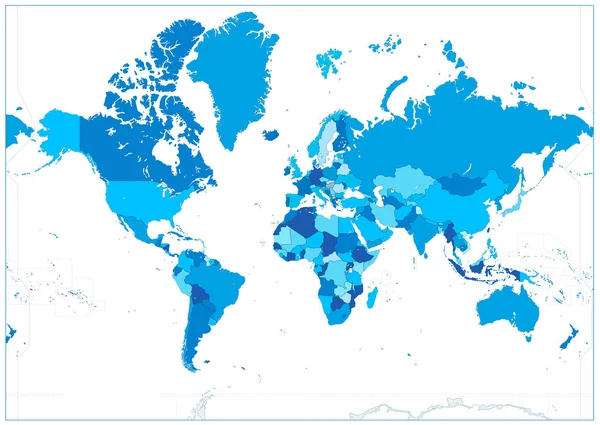
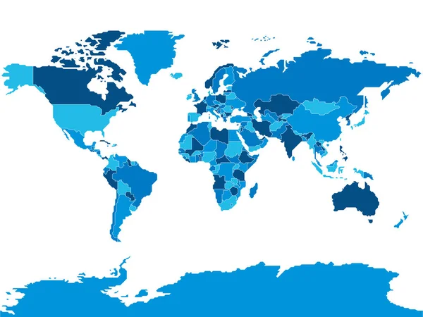
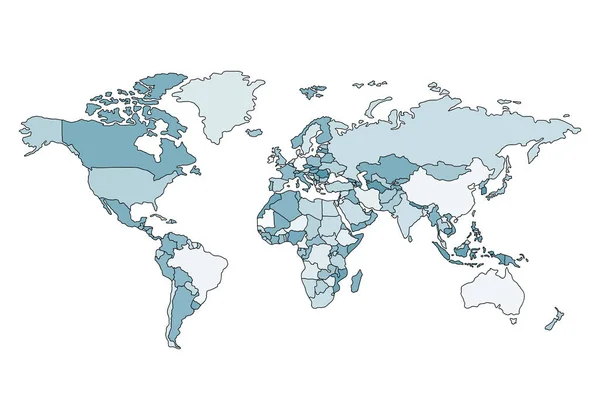
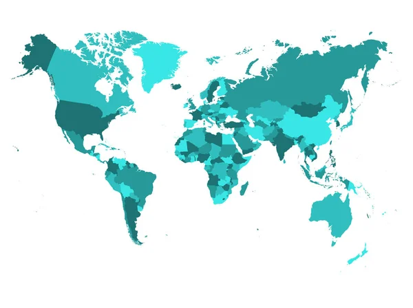
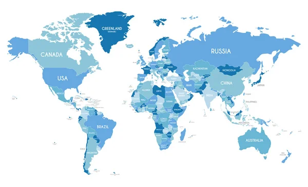
Stock vector Political world blue map and vector illustration
Published:
May.21, 2015 08:17:05
Author:
undrey
Views:
361
Downloads:
11
File type:
vector
/
eps
File size:
2.24 MB
Orginal size:
4861
x
3668
px
Available sizes:
S
(500 x 377)
M
(1000 x 755)
L
(2000 x 1509)
XL
(4861 x 3668)
VECT
(4861 x 3668)
EL0
(4861 x 3668)
Level:
gold
Download Vector
Vector topics:
Vector
Illustration
Design
Travel
Sea
Silhouette
City
Earth
Planet
World
Usa
Ocean
Science
Detailed
North
Europe
East
South
Country
Map
Cartography
Geography
National
Africa
Continent
Land
Worldwide
Asia
Topography
America
International
Australia
Politic
Political
Locations
Continents
Oceania
Atlas
Globes
Nation
Geographical
Hemisphere
Geo
Geographica
Similar stock vectors
Blue Colors World Map Isolated On White. No Text
8192 × 5817
Political Blank World Map Vector Illustration With Different Tones Of Blue For Each Country. Editable And Clearly Labeled Layers.
5600 × 3400
Simplified Smooth Border World Map
8000 × 6000
Political Map Of The World. Illustration In A Flat Style
5000 × 3500
World Map In Four Shades Of Turquoise Blu On White Background. High Detail Political Map With Country Names. Vector Illustration
6000 × 4485
Simplified Schematic Map Of World. Blank Political Map Of Countries With Generalized Borders. Simple Flat Vector Illustration
8000 × 6000
Political World Map Vector Illustration With Different Tones Of Blue For Each Country. Editable And Clearly Labeled Layers.
5600 × 3400