Home
Images
Vectors
Videos
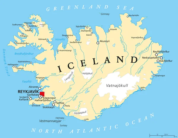
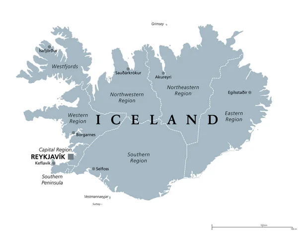
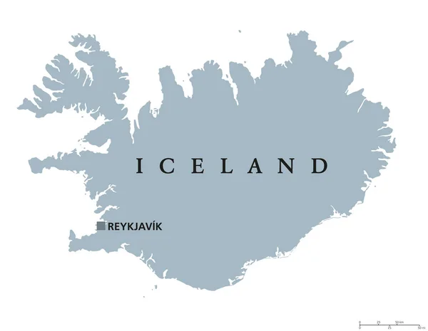
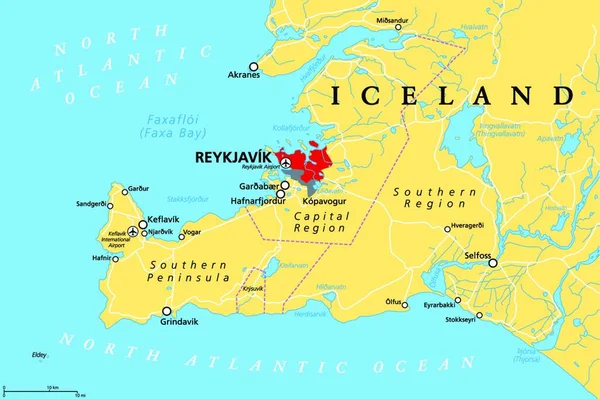
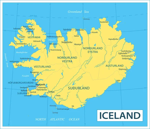
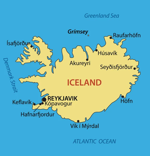
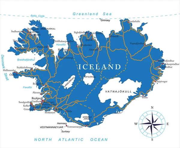
Stock vector Regions of Iceland, political map, with capital Reykjavik. Eight regions and their seats, used for statistical purposes. Nordic island country in Atlantic Ocean. English labeling. Illustration. Vector
Published:
Dec.14, 2021 08:06:20
Author:
PantherMediaSeller
Views:
7
Downloads:
0
File type:
vector
/
zip
File size:
0 MB
Orginal size:
4000
x
3738
px
Available sizes:
S
(500 x 467)
M
(1000 x 935)
L
(2000 x 1869)
XL
(4000 x 3738)
VECT
(4000 x 3738)
EL0
(4000 x 3738)
Level:
platinum
Download Vector
Vector topics:
Capital
Country
Map
Nordic
Island
Political
Of
Region
Statistical
Iceland
Regions
Reykjavik
Keflavik
Similar stock vectors
Iceland Political Map
7729 × 6000
Regions Of Iceland, Gray Political Map, With Capital Reykjavik. Eight Regions And Their Seats, Used For Statistical Purposes. Nordic Island Country In Atlantic Ocean. Isolated Illustration. Vector.
7729 × 6000
Iceland Political Map
9111 × 7073
Iceland, Capital Region And Southern Peninsula, Political Map. Reykjavik And Vicinity, With Reykjanes Peninsula, A Region In Southwest Iceland, With Cities, Rivers And Lakes. Illustration. Vector.
4000 × 3622
Map Of Iceland - Highly Detailed Vector Illustration
6636 × 5703
Iceland - Vector Map
4859 × 5026
Iceland Map | Vector Detailed Color Iceland Map
9000 × 6740
Highly Detailed Vector Map Of Iceland With Administrative Regions,main Cities And Roads.
5000 × 4122