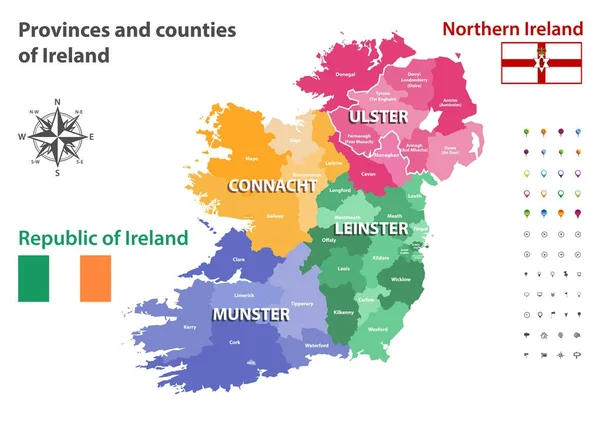
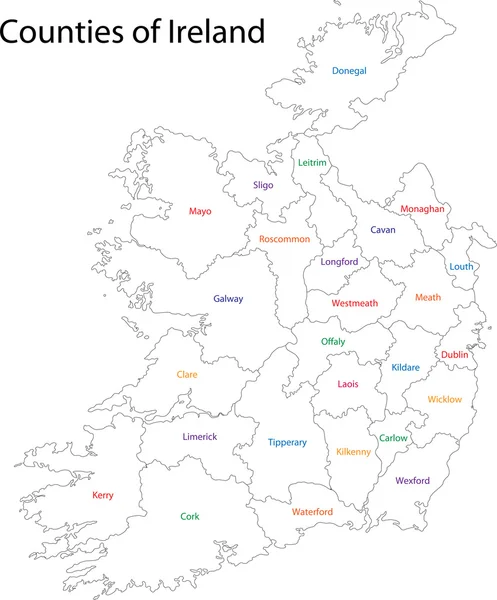
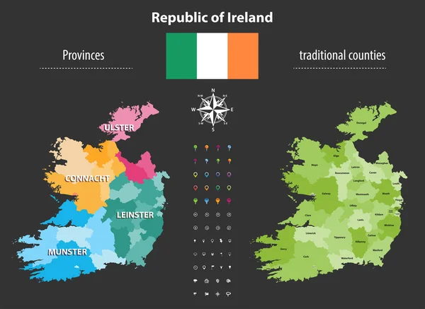
Stock vector Republic of Ireland provinces and traditional counties vector map
Published: Nov.14, 2017 10:24:52
Author: Jktu_21
Views: 68
Downloads: 1
File type: vector / eps
File size: 6.34 MB
Orginal size: 7284 x 5315 px
Available sizes:
Level: silver