photo free
Home Images Vectors Videos

Stock vector Road and administrative map of France
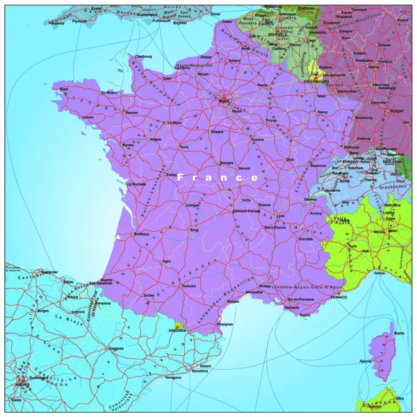
Stock vector Road and administrative map of France
Published: Nov.11, 2014 15:02:19
Author: BenKenogy
Views: 554
Downloads: 8
File type: vector / ai
File size: 1.74 MB
Orginal size: 3900 x 3900 px
Available sizes:
S
(500 x 500)
M
(1000 x 1000)
L
(2000 x 2000)
XL
(3900 x 3900)
VECT
(3900 x 3900)
EL0
(3900 x 3900)
Level: beginner
Download Vector
Vector topics:

Similar stock vectors

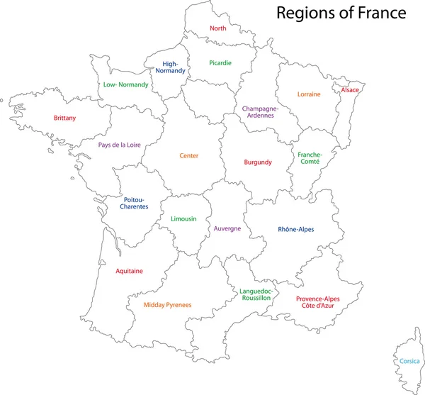
stock vector Outline France map

Outline France Map

5154 × 4788
stock vector Colorful France political map with clearly labeled, separated layers. Vector illustration.

Colorful France Political Map With Clearly Labeled, Separated Layers. Vector Illustration.

4791 × 4652
stock vector France map, flag, navigation labels, roads - illustration.

France Map, Flag, Navigation Labels, Roads - Illustration.

5400 × 6300
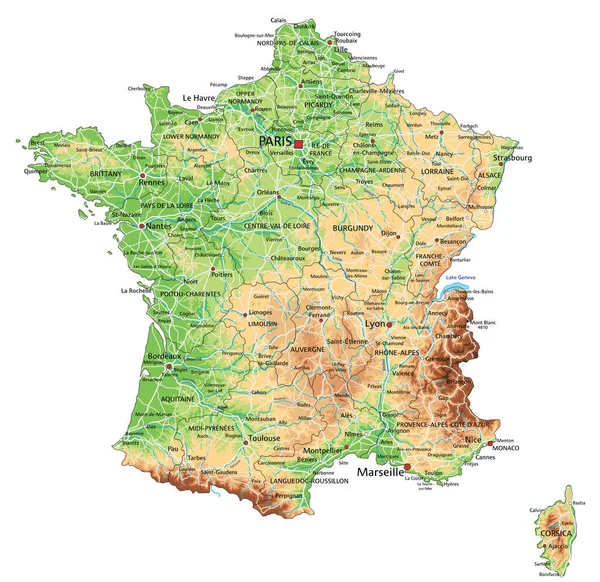
stock vector High detailed France physical map with labeling.

High Detailed France Physical Map With Labeling.

4787 × 4649
stock vector France map, flag, navigation icons, roads, rivers - illustration.

France Map, Flag, Navigation Icons, Roads, Rivers - Illustration.

5400 × 6110
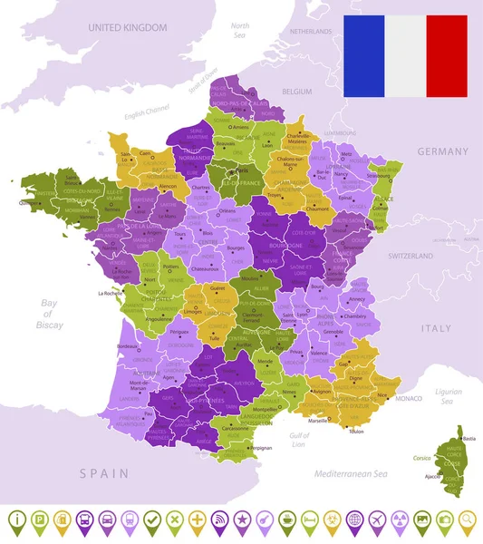
stock vector Detailed map of France with flag, border of regions and country. Purple, yellow, green.

Detailed Map Of France With Flag, Border Of Regions And Country. Purple, Yellow, Green.

5248 × 5908
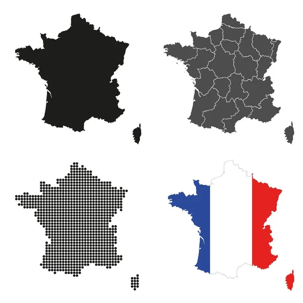
stock vector A set of detailed accurate vector maps of France

A Set Of Detailed Accurate Vector Maps Of France

5000 × 5000
stock vector France map colored by regions

France Map Colored By Regions

7292 × 6881