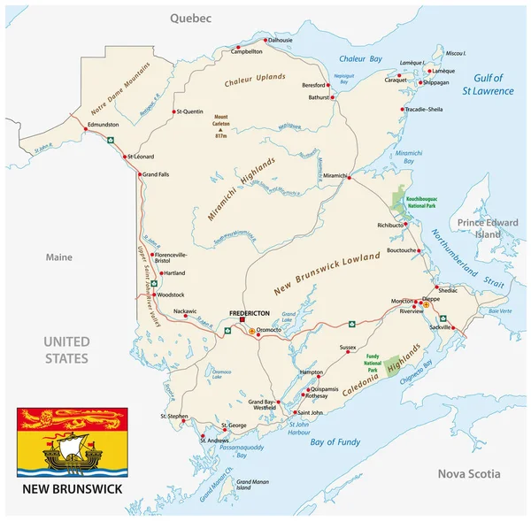
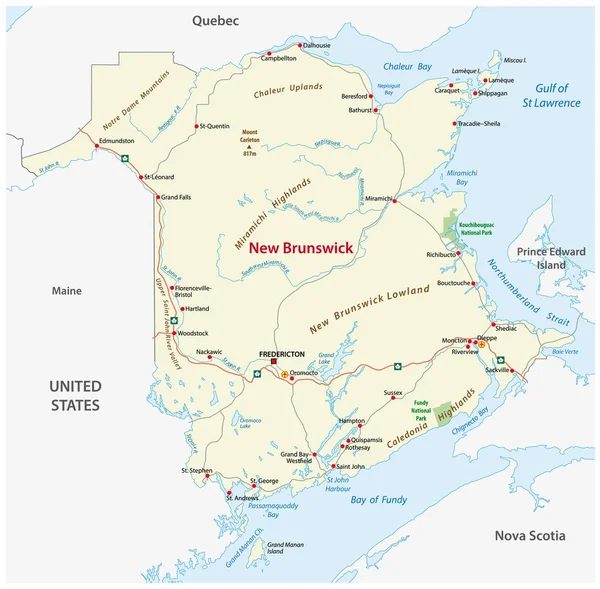
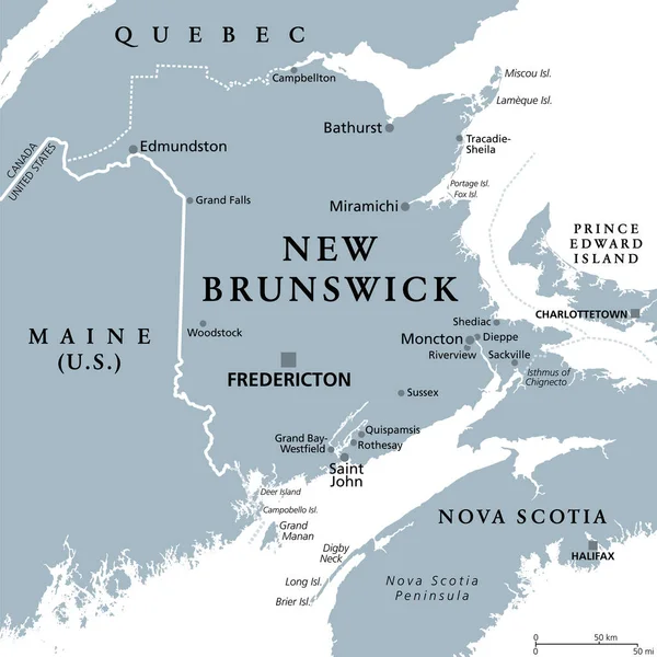
Stock vector Road map of the canada atlantic province new brunswick
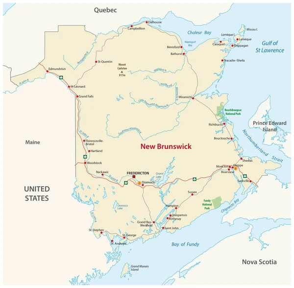
Published: Nov.08, 2016 16:38:19
Author: Lesniewski
Views: 102
Downloads: 6
File type: vector / eps
File size: 1.65 MB
Orginal size: 3163 x 3100 px
Available sizes:
Level: bronze