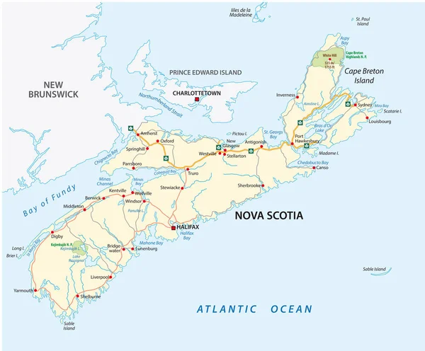
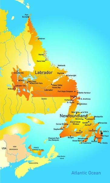
Stock vector Vector map of the Canadian province of Nova Scotia

Published: Dec.14, 2021 07:08:30
Author: PantherMediaSeller
Views: 3
Downloads: 0
File type: vector / zip
File size: 0 MB
Orginal size: 4000 x 3891 px
Available sizes:
Level: platinum