Home
Images
Vectors
Videos
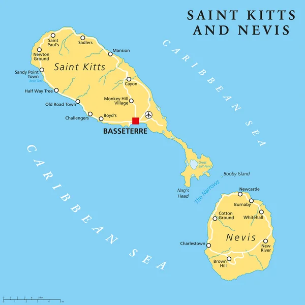
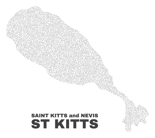
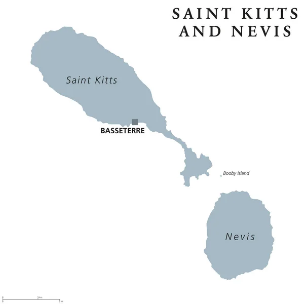
Stock vector Saint Kitts and Nevis political map
Published:
Apr.12, 2017 08:23:41
Author:
Furian
Views:
61
Downloads:
0
File type:
vector
/
eps
File size:
2.76 MB
Orginal size:
8033
x
8033
px
Available sizes:
S
(500 x 500)
M
(1000 x 1000)
L
(2000 x 2000)
XL
(8033 x 8033)
VECT
(8033 x 8033)
EL0
(8033 x 8033)
Level:
silver
Download Vector
Vector topics:
Vector
Illustration
Isolated
Labeling
Travel
Gray
Saint
Capital
Cruise
Country
Map
Cartography
Geography
Island
Federation
Destination
Commonwealth
Caribbean
English
Atlas
Americas
Lesser
Christopher
Leeward
Kitts
Nevis
Antilles
Basseterre
White Background
Saint Kitts
West Indies
Lesser Antilles
Saint Christopher
Leeward Islands
Political Map
Booby Island
Similar stock vectors
Saint Kitts And Nevis Political Map
6000 × 6000
Saint Kitts And Nevis Country Map. Black Silhouette And Outline Isolated On White Background. EPS Vector
10418 × 8334
Saint Kitts And Nevis Map In North America Continent Illustration Design
5001 × 5000
Gold Square Mosaic Map Of St Kitts Island
6228 × 3964
Basseterre, St. Kitts & Nevis. Detailed Country Map With Location Pin On Capital City. Black Silhouette And Outline Maps Isolated On White Background. EPS Vector
8334 × 9376
Gold Rotated Square Pattern Map Of St Kitts Island
5303 × 4715
Vector Halftone Pattern And Solid Map Of Saint Kitts And Nevis
5412 × 3000
Vector St Kitts Island Map Of Points
4317 × 3842