Home
Images
Vectors
Videos
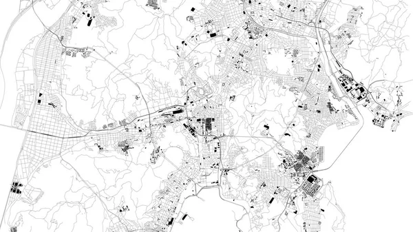
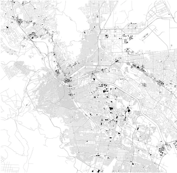
Stock vector Satellite map of Gwangju, city streets. Street map, city center. South Korea
Published:
Oct.22, 2018 09:53:54
Author:
vampy1
Views:
9
Downloads:
0
File type:
vector
/
eps
File size:
4.49 MB
Orginal size:
9992
x
5992
px
Available sizes:
S
(500 x 300)
M
(1000 x 600)
L
(2000 x 1199)
XL
(9992 x 5992)
VECT
(9992 x 5992)
EL0
(9992 x 5992)
Level:
silver
Download Vector
Vector topics:
Vector
Background
Graphic
Design
Isolated
Sign
Travel
People
Transportation
Border
Road
Traffic
Symbol
Architecture
Building
City
Urban
Information
Street
Attention
Highway
Landmark
Town
South
Signboard
Eastern
Outline
Country
District
Map
Buildings
Tourist
Poster
Boundary
Destination
Welcome
Republic
Notice
Atlas
Democratic
Wanderlust
Top View
Aerial View
South Korea
City Map
Gwangju
Satellite Map
Ministry Of
Similar stock vectors
Map Of Bursa, Turkey, Satellite View, Black And White Map. Street Directory And City Map. Asia
4717 × 3040
El Paso Map, Ciudad Juarez, Satellite View, Black And White Map. Street Directory And City Map. Texas. United States
6048 × 5930
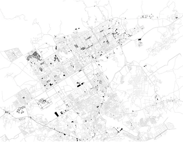
Map Of Tijuana, Satellite View, Black And White Map. Street Directory And City Map. Mexico, California
7106 × 5742
Satellite Map Of Islamabad, It Is The Capital City Of Pakistan. Map Of Streets And Buildings Of The Town Center
8098 × 6280
Streets Of Columbus Is The State Capital And The Most Populous City In Ohio. United States Of America
6659 × 4992
Urban Vector City Map Of Caliacan, Mexico
6000 × 3065
Urban Vector City Map Of Multan, Pakistan, Asia
6000 × 3302
Satellite Map Of Busan Metropolitan City, Pusan, City Streets. Street Map, City Center. South Korea
10659 × 5992