Home
Images
Vectors
Videos
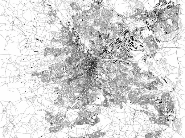
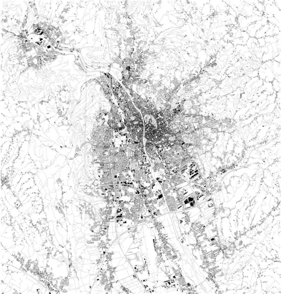
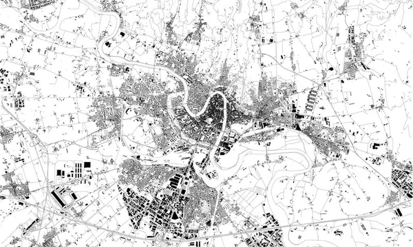
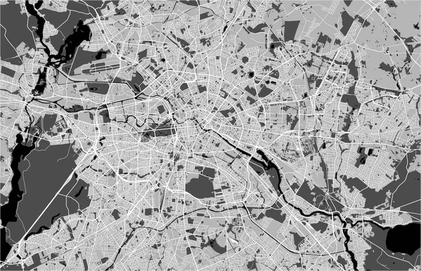
Stock vector Satellite map of Harare. It is the capital and most populous city of Zimbabwe. Map of streets and buildings of the town center. Africa
Published:
Apr.15, 2019 10:12:43
Author:
vampy1
Views:
22
Downloads:
0
File type:
vector
/
eps
File size:
30.13 MB
Orginal size:
6767
x
3995
px
Available sizes:
S
(500 x 295)
M
(1000 x 590)
L
(2000 x 1181)
XL
(6767 x 3995)
VECT
(6767 x 3995)
EL0
(6767 x 3995)
Level:
silver
Download Vector
Vector topics:
Background
Design
Isolated
Sign
Travel
Transportation
Border
Road
Traffic
Symbol
Architecture
Building
City
Urban
Information
Attention
Highway
Landmark
Outline
Country
District
Map
Africa
Warning
Buildings
Chart
Poster
Touristic
Destination
Welcome
Republic
Streets
Signpost
Atlas
Democratic
Ministry
Zimbabwe
Harare
Top View
Aerial View
City Map
Satellite Map
Similar stock vectors
Satellite Map Of Charlotte, North Carolina, City Streets. Street Map, City Center. Usa
10007 × 5992
Map Of Sheffield, Satellite View Of The City, Streets And Houses, England. UK
6659 × 4992
Satellite Map Of Bern, Switzerland, City Streets. Street Map, City Center
6112 × 5992
Satellite Map Of Graz, It Is The Capital Of Styria And The Second-largest City In Austria After Vienna. Map Of Streets And Buildings Of The Town Center. Europe
5420 × 5676
Satellite Map Of Verona, Veneto, Italy, City Streets. Street Map, City Center.
9982 × 5992
Satellite Map Of Salzburg. It Is The Fourth-largest City In Austria And The Capital Of The Federal State Of Salzburg. Map Of Streets And Buildings Of The Town Center.
7881 × 7064
Berlin City Map. Detailed Map Of Berlin (Germany). Transport System Of The City
5999 × 4242
Vector Map Of The City Of Berlin, Germany
7021 × 4533