Home
Images
Vectors
Videos
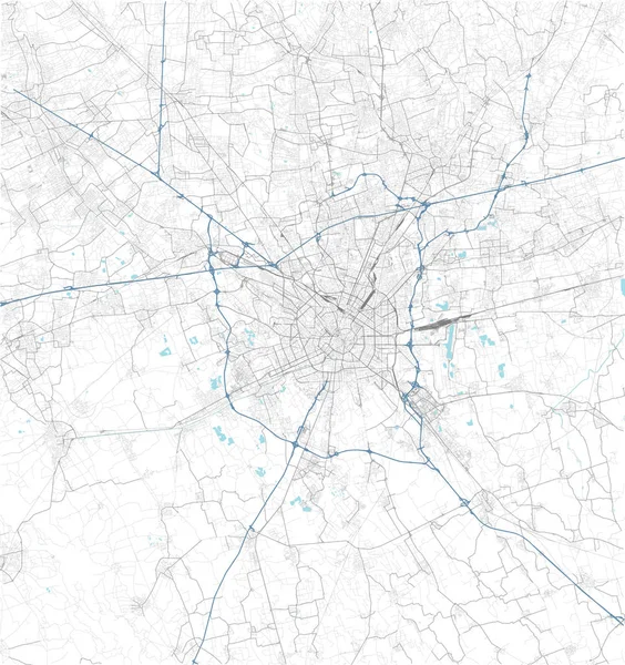
Stock vector Satellite map of Milan and surrounding areas. Lombardy, Italy. Map roads, ring roads and highways, rivers, railway lines
Published:
Sep.19, 2019 13:07:21
Author:
vampy1
Views:
59
Downloads:
3
File type:
vector
/
ai
File size:
18.18 MB
Orginal size:
5000
x
5319
px
Available sizes:
S
(470 x 500)
M
(940 x 1000)
L
(1880 x 2000)
XL
(5000 x 5319)
VECT
(5000 x 5319)
EL0
(5000 x 5319)
Level:
silver
Download Vector
Vector topics:
White
Background
Design
Isolated
Sign
Travel
Transportation
Black
Border
Traffic
Symbol
Architecture
Building
City
Urban
Lines
Information
Italy
Highway
Landmark
Europe
Outline
Country
District
Map
Buildings
Poster
Touristic
Milan
Destination
Roads
Streets
Signpost
Atlas
Democratic
Lombardy
Ministry
Rivers
Top View
Aerial View
Railway Lines
City Map
Satellite Map
Ring Roads And Highways
Similar stock vectors
Rome Map Satellite View Italy
4439 × 3328
Satellite View On The Map Of Milan
4439 × 3328
Nuremberg Map, Satellite View, Black And White Map. Street Directory And City Map. Germany
5788 × 6848
Abstract Street Map Of Berlin On White
4290 × 4000
Map Of The City Of Charlotte, In The USA Of North Carolina
4905 × 5993
Map Of The City Of Moscow, Russia
4853 × 5040
Wireframe Polygonal Abstract Mesh. Vector Polygon Which Consist Of Triangles. Geometric Background In Origami Or Network Style.
6047 × 6021