Home
Images
Vectors
Videos
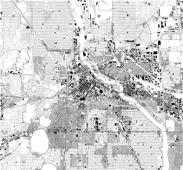
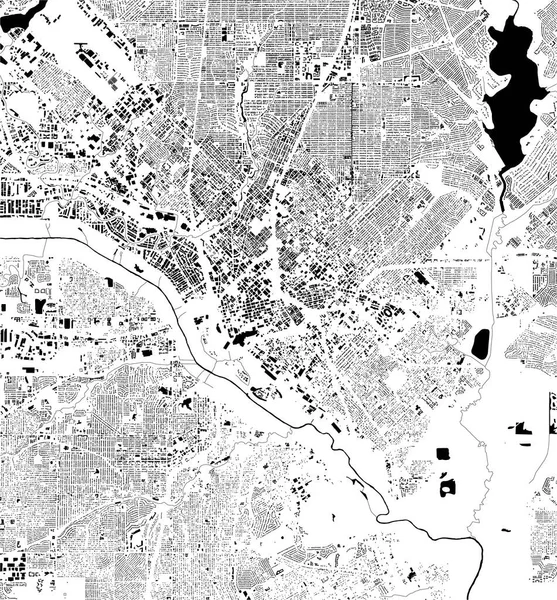
Stock vector Satellite map of Minneapolis, Minnesota, Usa, city streets. Street map and map of the city center.
Published:
Nov.09, 2018 14:12:37
Author:
vampy1
Views:
19
Downloads:
0
File type:
vector
/
eps
File size:
9.71 MB
Orginal size:
6446
x
5992
px
Available sizes:
S
(500 x 465)
M
(1000 x 930)
L
(2000 x 1859)
XL
(6446 x 5992)
VECT
(6446 x 5992)
EL0
(6446 x 5992)
Level:
silver
Download Vector
Vector topics:
Vector
Background
Design
Isolated
Sign
Travel
Transportation
Border
Road
Traffic
Symbol
Architecture
Building
City
Urban
Information
Attention
Usa
Highway
Landmark
Eastern
Outline
Country
District
Map
Warning
Buildings
Chart
Poster
Touristic
Destination
Welcome
Republic
Signpost
Atlas
Minneapolis
Minnesota
Democratic
Ministry
Top View
Aerial View
City Map
Satellite Map
Similar stock vectors
Vector Map Of The City Of Dallas, Texas, USA
4168 × 4487
Map Of Sacramento, Satellite View, Capital City, City, California, United States. Houses And Streets
5906 × 5906
Satellite Map Of Atlanta, Georgia, Usa, City Streets. Street Map And Map Of The City Center
3938 × 4244
Vector Map Of The City Of Phoenix, Arizona, USA
4670 × 3959
Denver Vector Map
8000 × 8000
Streets Of Indianapolis, City Map, Capital City, Indiana. Streets And Urban Area. Usa. The City Is The Capital And Most Populous City Of The U.S. State Of Indiana And The Seat Of Marion County
6659 × 4992
Satellite Map Of Athens, Greece, City Streets. Street Map And Map Of The City Center.
2717 × 2762
Satellite Map Of Bangalore, India, Streets Of The City. Street Directory And Map Of The City Center
2946 × 3666