Home
Images
Vectors
Videos
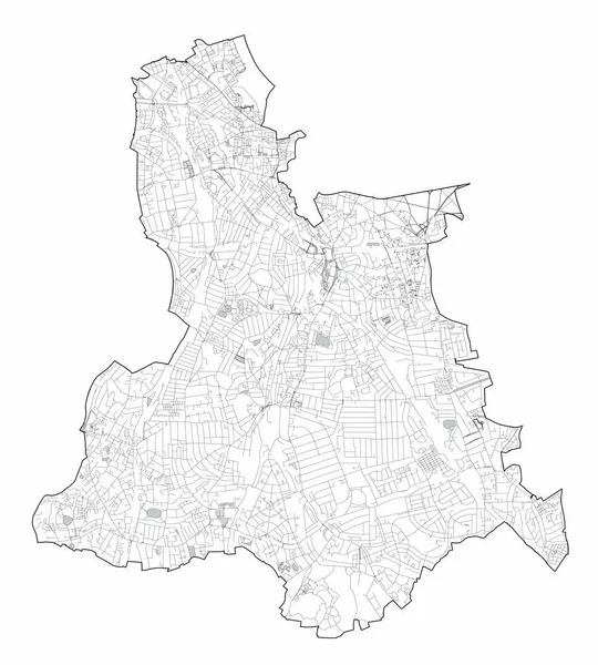
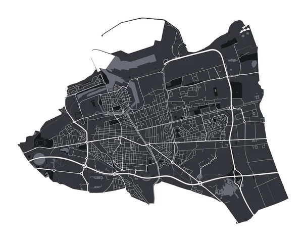
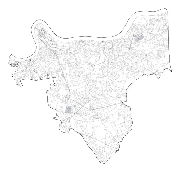
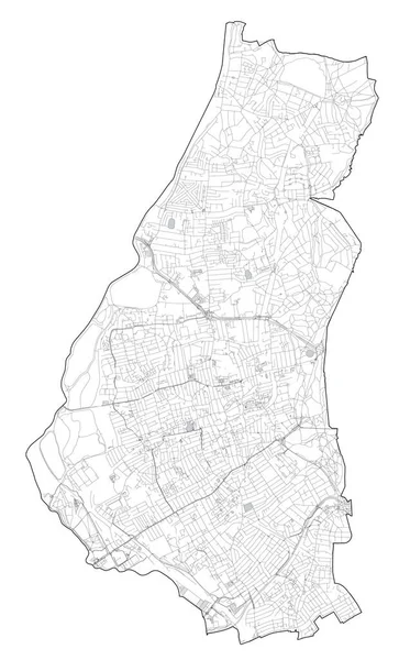
Stock vector Satellite view of the London boroughs, map and streets of Barking and Dagenham borough. England
Published:
Oct.18, 2019 10:07:23
Author:
vampy1
Views:
19
Downloads:
1
File type:
vector
/
eps
File size:
5.88 MB
Orginal size:
6823
x
8046
px
Available sizes:
S
(424 x 500)
M
(848 x 1000)
L
(1696 x 2000)
XL
(6823 x 8046)
VECT
(6823 x 8046)
EL0
(6823 x 8046)
Level:
silver
Download Vector
Vector topics:
Vector
Background
Graphic
Business
Texture
Transportation
Border
River
Center
City
Downtown
Tower
Urban
Information
Tourism
Detailed
Town
Capital
Europe
Navigation
District
Map
Cartography
Geography
Plan
Area
Uk
Residential
Guide
Location
Place
Administrative
Britain
London
Roads
Streets
England
Metropolitan
Borough
Thames
Southwark
Black And White
United Kingdom
Lines Travel
Barking And Dagenham Borough
Similar stock vectors
Satellite View Of The London Boroughs, Map And Streets Of Bexley Borough. England
6379 × 7290
Satellite View Of The London Boroughs, Map And Streets Of Lewisham Borough. England
5747 × 6374
Satellite View Of The London Boroughs, Map And Streets Of Redbridge Borough. England
5900 × 5824
Satellite Map Of Milan, Streets And Building Of Area Number 8, Municipalities Number Eight. Lombardy. Italy
10003 × 8947
Calais Vector Map. Detailed Vector Map Of Calais City Administrative Area. Cityscape Poster Metropolitan Aria View. Black Land With White Roads And Avenues. White Background.
4788 × 3751
Satellite View Of The London Boroughs, Map And Streets Of Greenwich Borough. England
8612 × 8269
Satellite View Of The London Boroughs, Map And Streets Of Barnet Borough. England
7116 × 7399
Satellite View Of The London Boroughs, Map And Streets Of Waltham Forest Borough. England
4844 × 7989