photo free
Home Images Vectors Videos

Stock vector Satellite map of Milan, streets and building of area number 8, municipalities number eight. Lombardy. Italy

Stock vector Satellite map of Milan, streets and building of area number 8, municipalities number eight. Lombardy. Italy
Published: Oct.15, 2019 09:18:32
Author: vampy1
Views: 3
Downloads: 0
File type: vector / eps
File size: 9.6 MB
Orginal size: 10003 x 8947 px
Available sizes:
S
(500 x 447)
M
(1000 x 894)
L
(2000 x 1789)
XL
(10003 x 8947)
VECT
(10003 x 8947)
EL0
(10003 x 8947)
Level: silver
Download Vector
Vector topics:

Similar stock vectors

stock vector Satellite map of Milan, streets and building of area number 9, municipalities number nine. Lombardy. Italy

Satellite Map Of Milan, Streets And Building Of Area Number 9, Municipalities Number Nine. Lombardy. Italy

6971 × 6978
stock vector Satellite map of Milan, streets and building of area number 6, municipalities number six. Lombardy. Italy

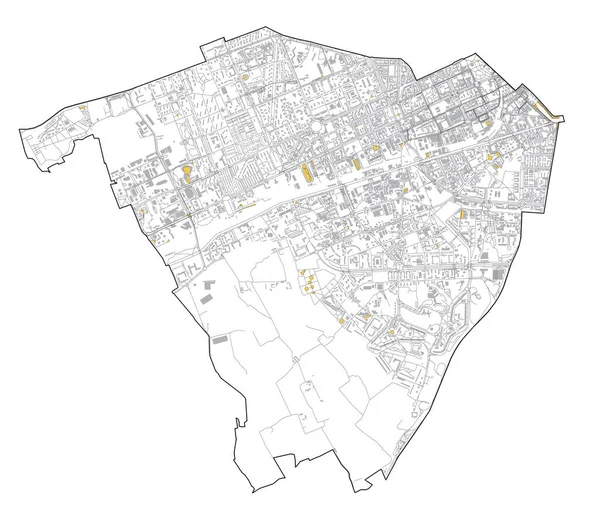
Satellite Map Of Milan, Streets And Building Of Area Number 6, Municipalities Number Six. Lombardy. Italy

7091 × 6110
stock vector Satellite view of the London boroughs, map and streets of Barking and Dagenham borough. England

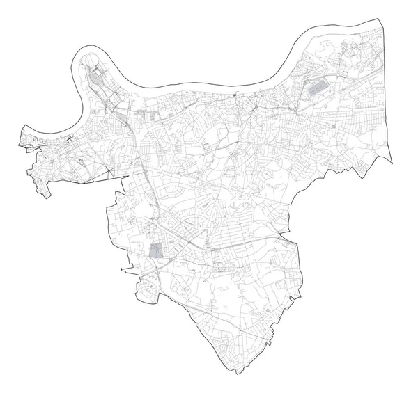
Satellite View Of The London Boroughs, Map And Streets Of Barking And Dagenham Borough. England

6823 × 8046
stock vector Satellite map of Milan, streets and building of area number 2, municipalities number two. Lombardy. Italy

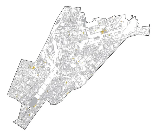
Satellite Map Of Milan, Streets And Building Of Area Number 2, Municipalities Number Two. Lombardy. Italy

8395 × 7262
stock vector Satellite map of Milan, streets and building of area number 7, municipalities number seven. Lombardy. Italy

Satellite Map Of Milan, Streets And Building Of Area Number 7, Municipalities Number Seven. Lombardy. Italy

8433 × 6993
stock vector Satellite map of Dammam. It is the capital of the Eastern Province of Saudi Arabia. Map of streets and buildings of the town center. Asia

Satellite Map Of Dammam. It Is The Capital Of The Eastern Province Of Saudi Arabia. Map Of Streets And Buildings Of The Town Center. Asia

8609 × 9673
stock vector Satellite map of Aden, it is a port city of Yemen, located by the eastern approach to the Red Sea, Aden's natural harbour lies in the crater of a dormant volcano. Map of streets and buildings of the town center

Satellite Map Of Aden, It Is A Port City Of Yemen, Located By The Eastern Approach To The Red Sea, Aden's Natural Harbour Lies In The Crater Of A Dormant Volcano. Map Of Streets And Buildings Of The Town Center

5364 × 5398
stock vector Satellite view of the London boroughs, map and streets of Greenwich borough. England

Satellite View Of The London Boroughs, Map And Streets Of Greenwich Borough. England

8612 × 8269