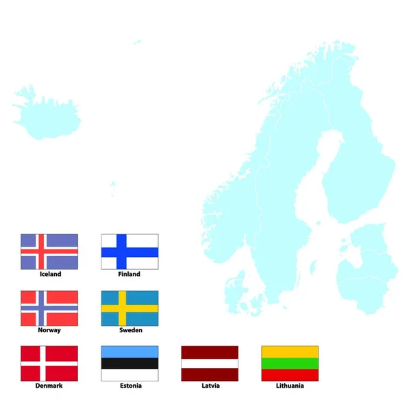
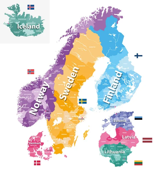
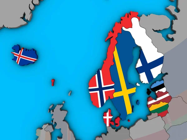
Stock vector Scandinavian and Baltic regions countries political detailed map. Vector illustration

Published: Jul.15, 2019 12:04:39
Author: Jktu_21
Views: 27
Downloads: 0
File type: vector / eps
File size: 7.84 MB
Orginal size: 6907 x 8333 px
Available sizes:
Level: silver
Similar stock vectors

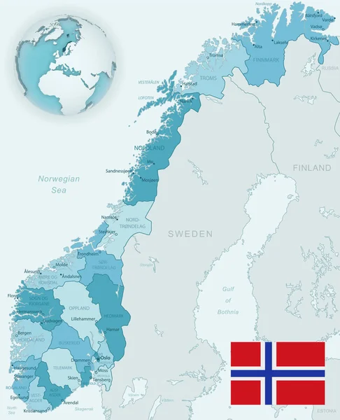
Vector Maps And Flags Of Europe Countries With Administrative Divisions (regions Borders)
6036 × 8334