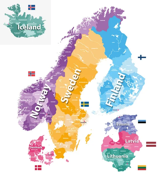
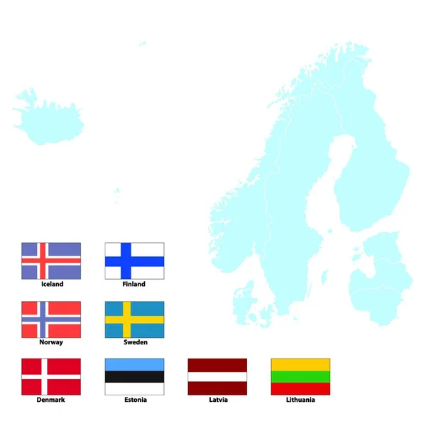
Stock vector vector maps and flags of Europe countries with administrative divisions (regions borders)

Published: Feb.12, 2018 11:54:50
Author: Jktu_21
Views: 99
Downloads: 5
File type: vector / eps
File size: 11.38 MB
Orginal size: 6036 x 8334 px
Available sizes:
Level: silver
Similar stock vectors

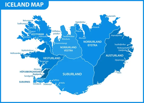
The Detailed Map Of Iceland With Regions Or States And Cities, Capital. Administrative Division
7000 × 5000