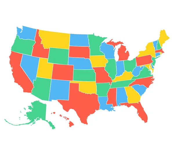
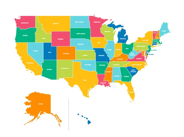
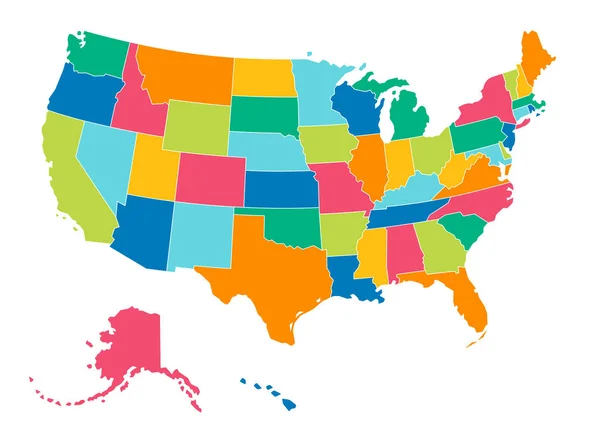
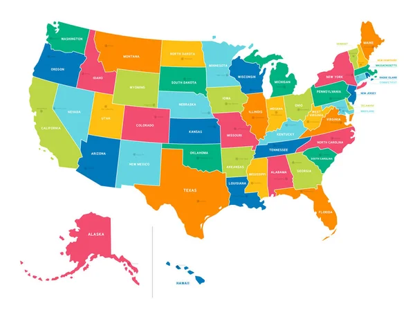
Stock vector Simple Bright Colors Full Vector Political Map of the United States of America, isolated on White Background
Published: Dec.05, 2018 11:12:09
Author: Fourleaflovers
Views: 36
Downloads: 1
File type: vector / eps
File size: 0.34 MB
Orginal size: 6674 x 4983 px
Available sizes:
Level: silver
Similar stock vectors
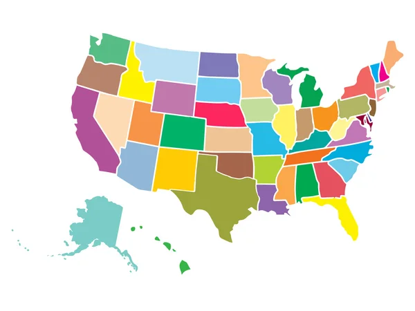


Bright Colors Full Vector Political Map Of The United States Of America, Isolated On White Background
6674 × 4983