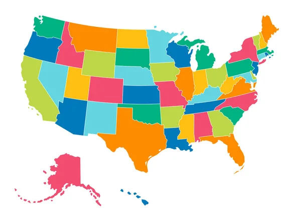
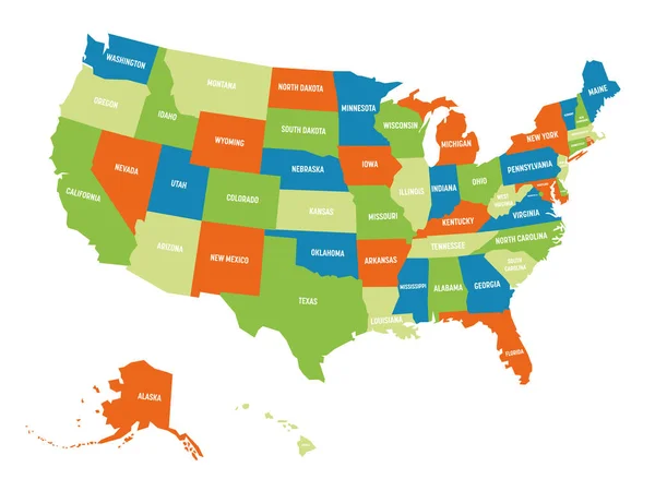
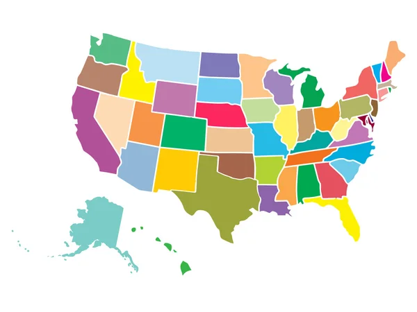
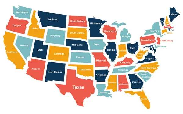
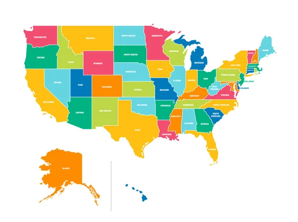
Stock vector USA political map. Color vector map with state borders
Published: Jul.24, 2020 08:01:39
Author: Fourleaflovers
Views: 110
Downloads: 4
File type: vector / eps
File size: 0.68 MB
Orginal size: 6000 x 4478 px
Available sizes:
Level: silver
Similar stock vectors
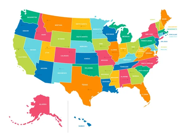
Bright Colors Full Vector Political Map Of The United States Of America, Isolated On White Background
6674 × 4983