Home
Images
Vectors
Videos
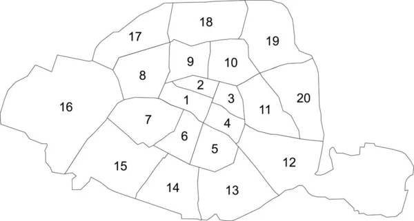
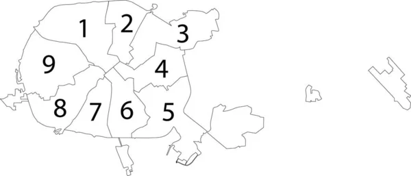
Stock vector Simple vector white map with black borders and numbers of arrondissements of Paris, France
Published:
Feb.02, 2021 07:50:19
Author:
momcilo.jovanov
Views:
24
Downloads:
0
File type:
vector
/
eps
File size:
0.47 MB
Orginal size:
6705
x
3587
px
Available sizes:
S
(500 x 267)
M
(1000 x 535)
L
(2000 x 1070)
XL
(6705 x 3587)
VECT
(6705 x 3587)
EL0
(6705 x 3587)
Level:
bronze
Download Vector
Vector topics:
White
Vector
Background
Graphic
Illustration
Design
Isolated
Shape
Art
Travel
Abstract
Texture
Transportation
Black
French
Border
Road
Symbol
Concept
Idea
City
Urban
Digital
Contour
Drawing
Street
World
France
Italian
Europe
Outline
Country
Map
Cartography
Geography
Plan
National
Land
State
Paris
Region
Territory
Parisian
Municipality
Similar stock vectors
Dark Gray Flat Vector Administrative Map Of RENNES, FRANCE With Name Tags And Black Border Lines Of Its Cantons
5718 × 4221
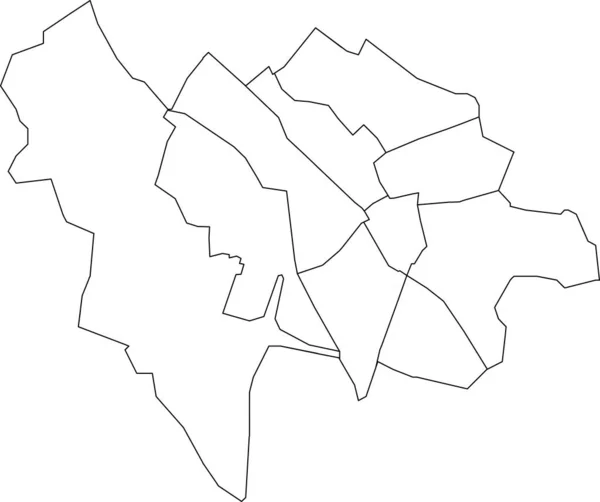
White Flat Vector Administrative Map Of RENNES, FRANCE With Name Tags And Black Border Lines Of Its Cantons
5718 × 4221
White Flat Blank Vector Administrative Map Of The 7TH ARONDISSEMENT (DU PALAIS-BOURBON), PARIS, FRANCE With Black Border Lines Of Its Quarters
6125 × 3827
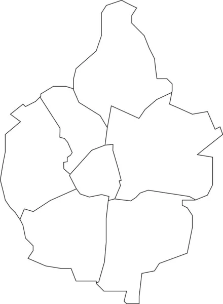
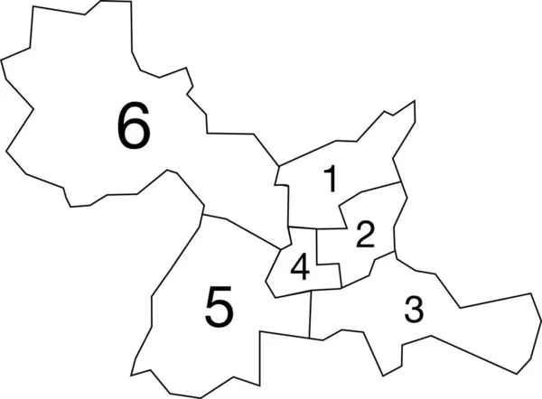
Simple Vector White Map With Black Borders And Numbers Of Raions (districts) Of Minsk, Belarus
7505 × 3219
White Flat Blank Vector Administrative Map Of MAASTRICHT, NETHERLANDS With Black Border Lines Of Its Districts
4192 × 5710
White Flat Blank Vector Administrative Map Of UTRECHT, NETHERLANDS With Black Border Lines Of Its Quarters
5410 × 4533
Gray Flat Blank Vector Administrative Map Of ZOETERMEER, NETHERLANDS With Black Border Lines Of Its Districts
5815 × 4030
White Flat Blank Vector Administrative Map Of ZOETERMEER, NETHERLANDS With Black Border Lines Of Its Districts
5815 × 4030