Home
Images
Vectors
Videos
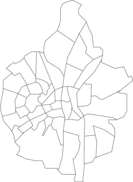
Stock vector White flat blank vector administrative map of UTRECHT, NETHERLANDS with black border lines of its quarters
Published:
Jan.24, 2022 08:39:09
Author:
momcilo.jovanov
Views:
2
Downloads:
0
File type:
vector
/
eps
File size:
0.42 MB
Orginal size:
5410
x
4533
px
Available sizes:
S
(500 x 419)
M
(1000 x 838)
L
(2000 x 1676)
XL
(5410 x 4533)
VECT
(5410 x 4533)
EL0
(5410 x 4533)
Level:
bronze
Download Vector
Vector topics:
Vector
Curve
Illustration
Design
Sign
Travel
Transportation
Mountain
Car
Road
Traffic
Symbol
Icon
City
House
Data
Planning
Netherlands
Highway
Town
Journey
Outline
Direction
Map
Cartography
Land
Patriotism
Asphalt
Government
Community
Scheveningen
Utrecht
Infographic
Coat Of Arms
Cut Out
Travel Destinations
Residential District
No People
Global Positioning System
Physical Geography
Construction Industry
Dutch Culture
Road Map
Navigational Equipment
Transparent Background
Dutch Flag
Dutch Language
Plan Document
Landscape Scenery
Borough District Type
Similar stock vectors
White Flat Blank Vector Administrative Map Of ZOETERMEER, NETHERLANDS With Black Border Lines Of Its Districts
5815 × 4030
White Flat Blank Vector Administrative Map Of The 16TH ARONDISSEMENT (DE PASSY), PARIS, FRANCE With Black Border Lines Of Its Quarters
5218 × 4747
White Flat Blank Vector Administrative Map Of MAASTRICHT, NETHERLANDS With Black Border Lines Of Its Neighborhoods
4189 × 5707
White Flat Vector Administrative Map Of RENNES, FRANCE With Black Border Lines Of Its Cantons
5718 × 4221
White Flat Blank Vector Administrative Map Of ALKMAAR, NETHERLANDS With Black Border Lines Of Its Districts
3815 × 6111
Savnik Municipality Map, Administrative Subdivision Of Montenegro. Vector Illustration.
8334 × 8334
White Flat Blank Vector Administrative Map Of MAASTRICHT, NETHERLANDS With Black Border Lines Of Its Districts
4192 × 5710
State Of Mexico Map, Administrative Division Of The Country Of Mexico. Vector Illustration.
8334 × 8334