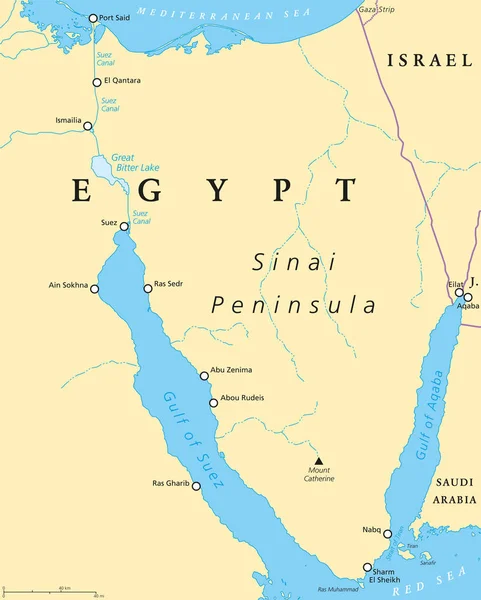
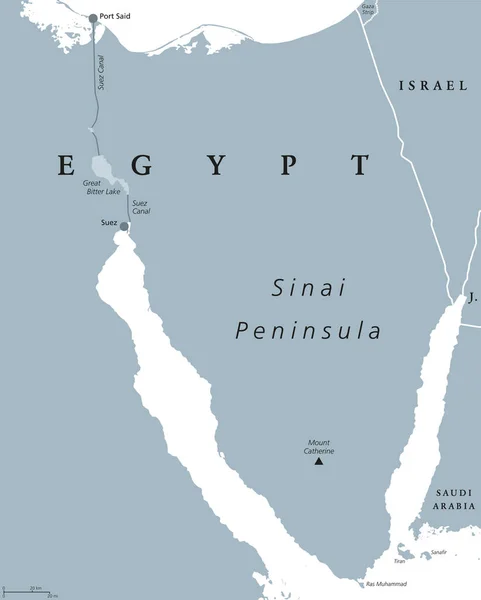
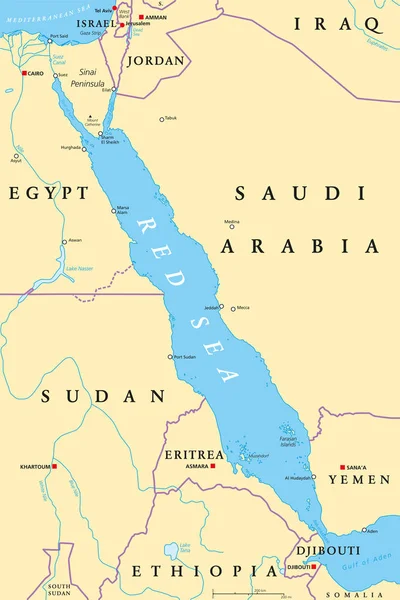
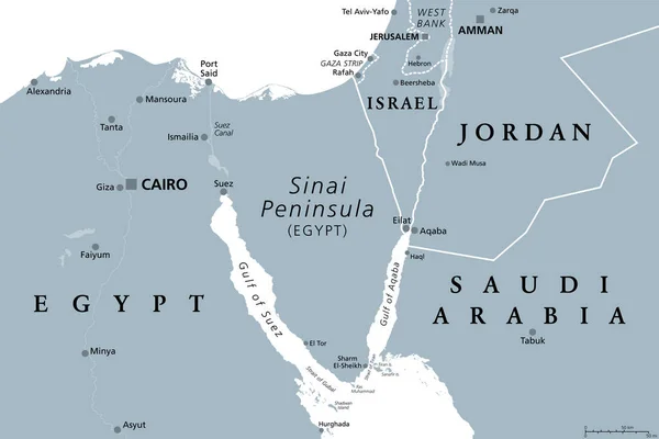
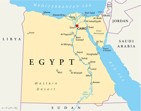
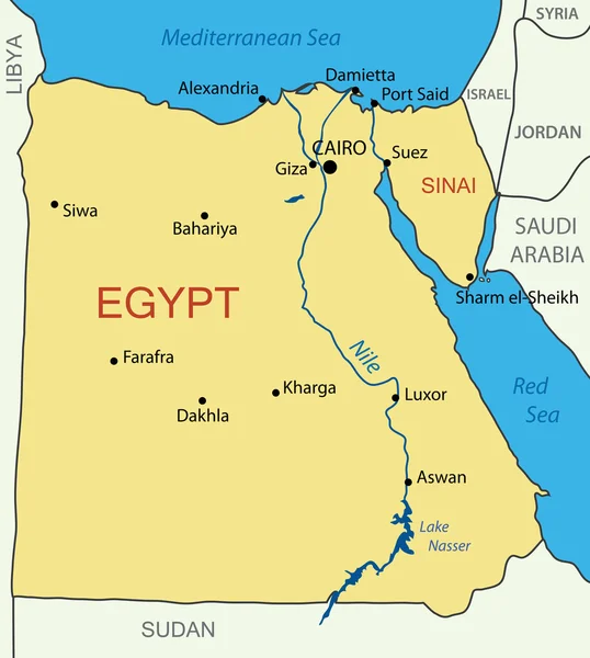
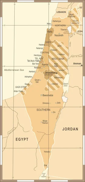
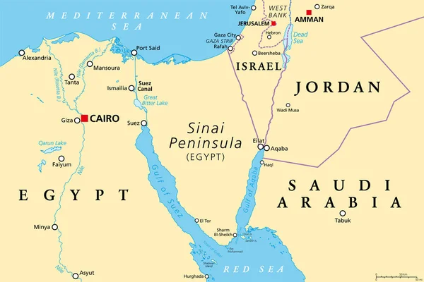
Stock vector Sinai Peninsula region, political map. A peninsula in Egypt, located between the Mediterranean Sea and the Red Sea, land bridge between Asia and Africa. With parts of Israel, Jordan and Saudi Arabia.
Published: Jun.08, 2023 17:34:33
Author: Furian
Views: 279
Downloads: 0
File type: vector / eps
File size: 3.52 MB
Orginal size: 9000 x 6000 px
Available sizes:
Level: silver