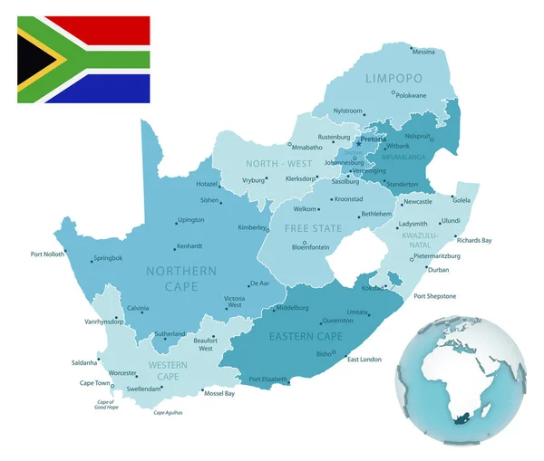
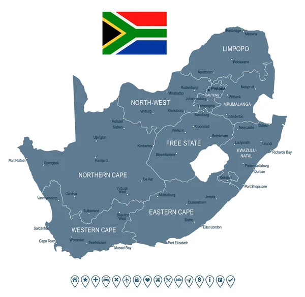
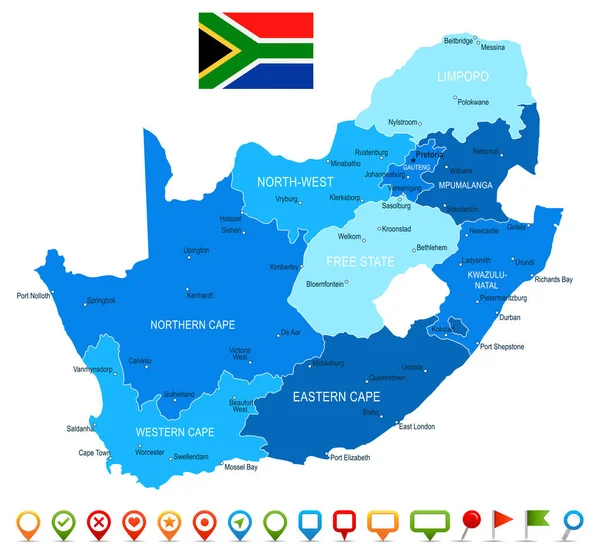
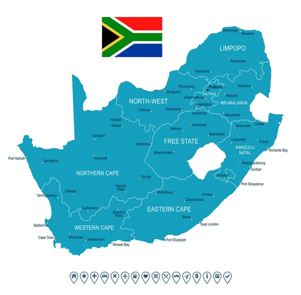
Stock vector South Africa - map and flag - illustration

Published: Jul.31, 2017 09:54:53
Author: dikobrazik
Views: 266
Downloads: 8
File type: vector / eps
File size: 1.37 MB
Orginal size: 4686 x 4150 px
Available sizes:
Level: silver
Similar stock vectors
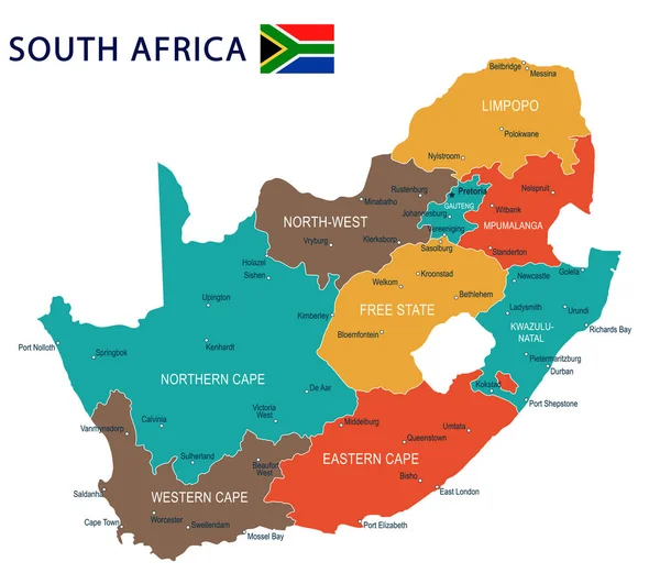
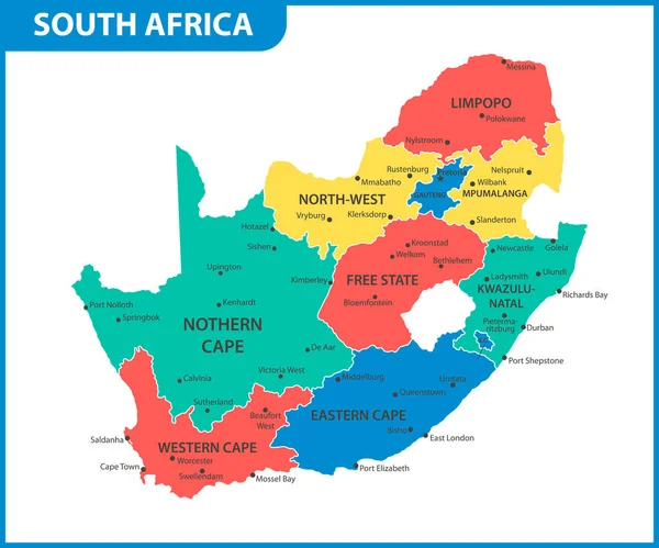
The Detailed Map Of South Africa With Regions Or States And Cities, Capital. Administrative Division
6000 × 5000

The Detailed Map Of South Africa With Regions Or States And Cities, Capital. Administrative Division
6000 × 5000