Home
Images
Vectors
Videos
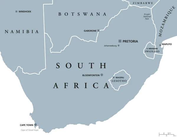
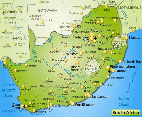
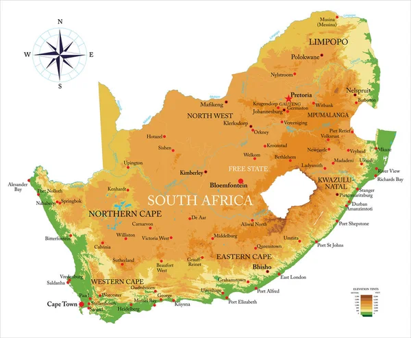
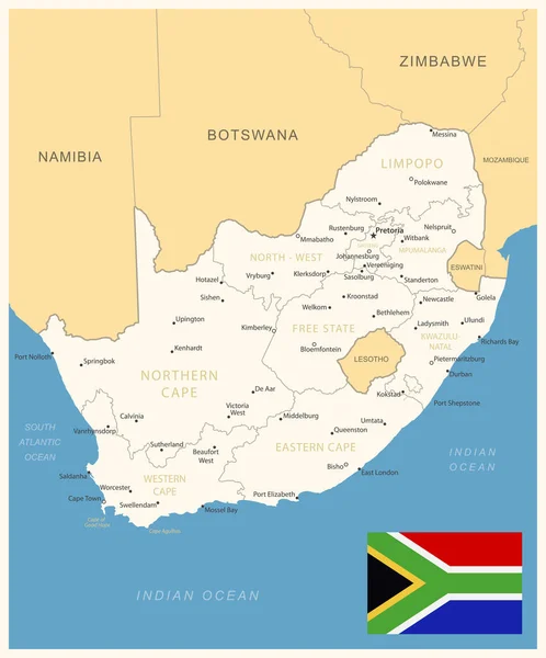
Stock vector South Africa, political map with provinces, largest cities, international and administrative borders. Republic and southernmost country in Africa, with capitals Pretoria, Cape Town and Bloemfontein.
Published:
Aug.22, 2023 12:41:44
Author:
Furian
Views:
231
Downloads:
3
File type:
vector
/
eps
File size:
3.11 MB
Orginal size:
6000
x
6000
px
Available sizes:
S
(500 x 500)
M
(1000 x 1000)
L
(2000 x 2000)
XL
(6000 x 6000)
VECT
(6000 x 6000)
EL0
(6000 x 6000)
Level:
silver
Download Vector
Vector topics:
Vector
Illustration
Travel
Border
African
City
Coastline
Capital
South
Cruise
Country
Map
Cartography
Geography
Africa
Continent
Land
Overview
State
Boundary
Atlantic
Destination
Republic
Southern
Atlas
Province
Mapping
Namibia
Swaziland
Botswana
Lesotho
Mozambique
Zimbabwe
Bloemfontein
Johannesburg
Limpopo
Pretoria
Durban
Gauteng
Southernmost
Infographic
South Africa
Western Cape
Cape Town
Indian Ocean
Cape Of Good Hope
Free State
Political Map
Cape Agulhas
Eswatini
Similar stock vectors
South Africa Political Map
9289 × 7206
South Africa, Gray Political Map With Nine Provinces, With Largest Cities, And Borders. Republic And Southernmost Country In Africa, With The Three Capitals Pretoria, Cape Town And Bloemfontein.
6000 × 6000
South Africa Political Map
9111 × 7069
South Africa Administrative And Political Vector Map
4751 × 4103
Map Of South Africa
4396 × 3641
South Africa Highly Detailed Physical Map, In Vector Format,with All The Relief Forms,regions And Big Cities.
7500 × 6175
South Africa - Detailed Map With Administrative Divisions And Country Flag. Vector Illustration
6090 × 7325
South Africa Administrative And Political Vector Map
4000 × 3852