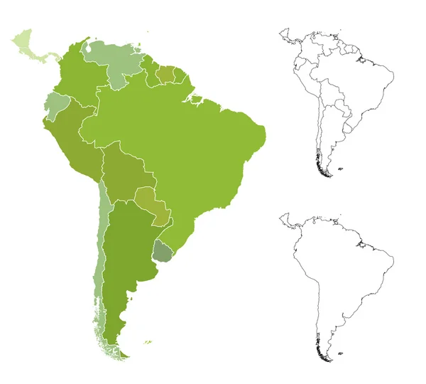
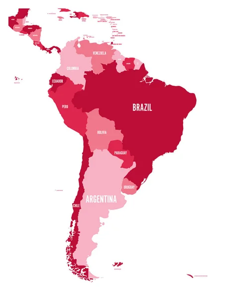
Stock vector South America Region. Map of countries in southern America. Vector illustration
Published: Apr.08, 2019 12:23:28
Author: pyty
Views: 44
Downloads: 0
File type: vector / eps
File size: 1.36 MB
Orginal size: 6000 x 6000 px
Available sizes:
Level: silver
Similar stock vectors
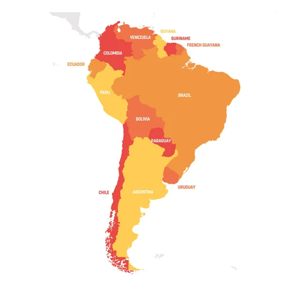
Political Map Of South America. Simple Flat Vector Map With Country Name Labels In Four Shades Of Maroon
6000 × 7852