Home
Images
Vectors
Videos
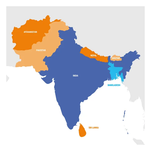
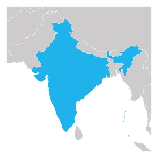
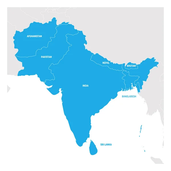
Stock vector South Asia Region. Map of countries in southern Asia. Vector illustration
Published:
Apr.01, 2019 19:06:15
Author:
pyty
Views:
123
Downloads:
1
File type:
vector
/
eps
File size:
1.48 MB
Orginal size:
6000
x
6000
px
Available sizes:
S
(500 x 500)
M
(1000 x 1000)
L
(2000 x 2000)
XL
(6000 x 6000)
VECT
(6000 x 6000)
EL0
(6000 x 6000)
Level:
silver
Download Vector
Vector topics:
Image
Group
Blue
Vector
Computer
Background
Graphic
Illustration
Focus
Design
Isolated
Business
Labeling
Travel
Border
Gray
Global
Grey
Highlight
World
Asian
South
Outline
Country
Map
Cartography
Geography
Continent
Land
Asia
Spectrum
State
Middle
Focused
Political
India
Region
Southern
Atlas
Nepal
Regional
Afghanistan
Pakistan
Bhutan
Bangladesh
Geopolitical
Sri Lanka
Political Map
Subregion
Similar stock vectors
South Asia Region. Map Of Countries In Southern Asia. Vector Illustration
6000 × 6000
Detailed Map Of India, Asia With All States And Country Boundary
5000 × 5000
Blue Political Map Of South Asia With Country Borders
2400 × 3200
India - Blue Map With Neighboring Countries And Names. Vector Illustration
5257 × 6051
India Blue Marked In Political Map Of South Asia And Middle East. Simple Flat Vector Map
6000 × 4000
Map Of India Green Highlighted With Neighbor Countries
6000 × 6000
India - Map And Flag Illustration
5900 × 7052
South Asia Region. Map Of Countries In Southern Asia. Vector Illustration
6000 × 6000