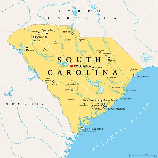
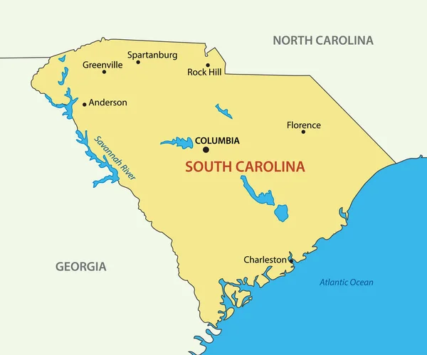
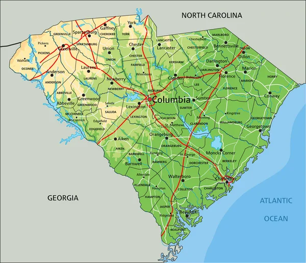
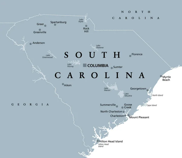
Stock vector South Carolina, SC, gray political map, with capital Columbia, largest cities and borders. State in the southeastern region of the United States of America. The Palmetto State. Illustration. Vector.
Published: Oct.21, 2020 12:18:41
Author: Furian
Views: 5
Downloads: 3
File type: vector / eps
File size: 2.61 MB
Orginal size: 6906 x 6000 px
Available sizes:
Level: silver