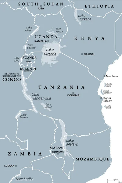
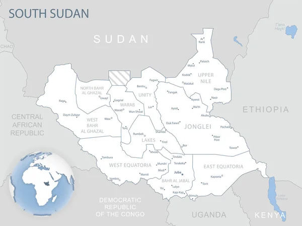
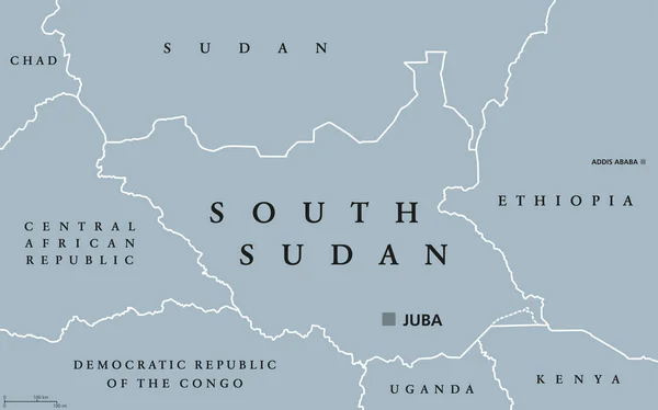
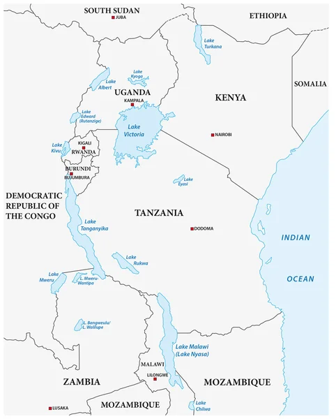
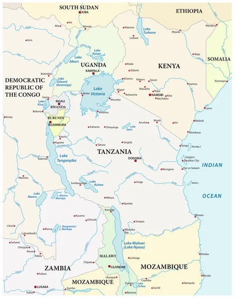
Stock vector South Sudan - detailed map with administrative divisions country. Vector illustration

Published: May.15, 2024 08:59:37
Author: gt29
Views: 0
Downloads: 0
File type: vector / eps
File size: 1.49 MB
Orginal size: 6554 x 4944 px
Available sizes:
Level: bronze