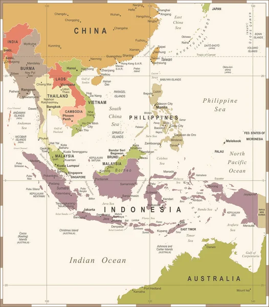
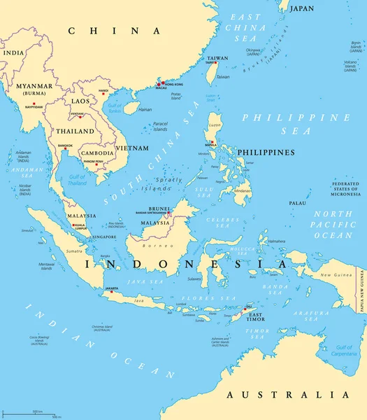
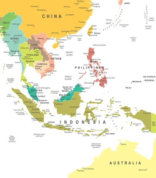
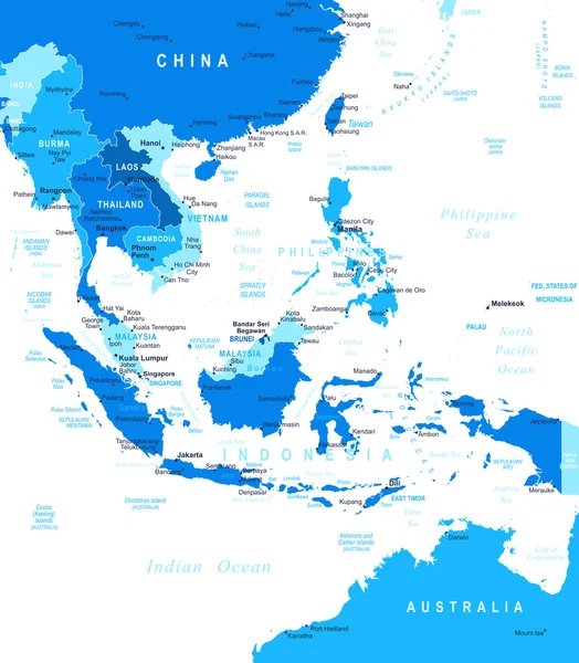
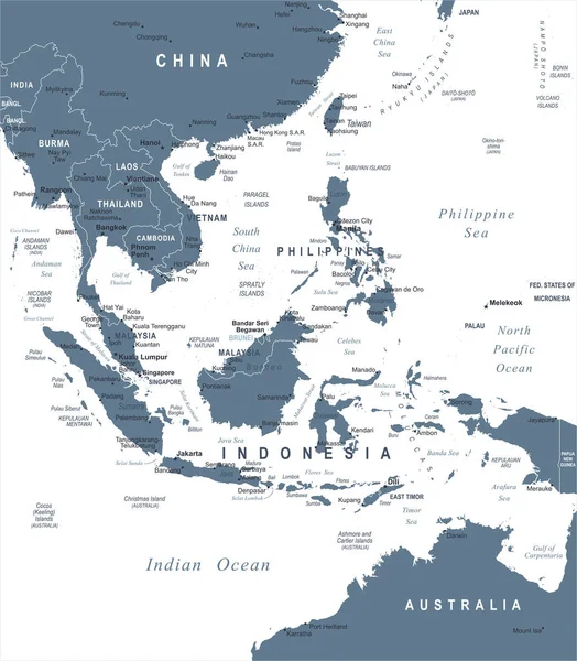
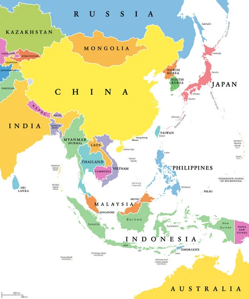
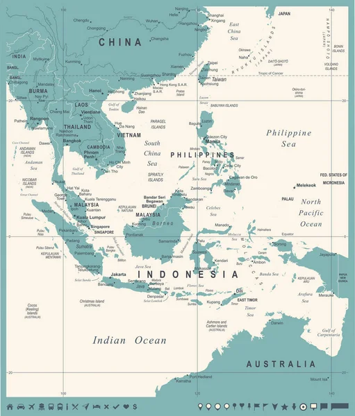
Stock vector Southeast Asia political divisions

Published: Sep.04, 2015 09:42:26
Author: JRTBurr
Views: 274
Downloads: 5
File type: vector / eps
File size: 7.12 MB
Orginal size: 5257 x 6014 px
Available sizes:
Level: beginner