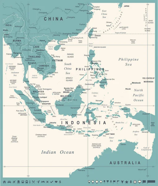
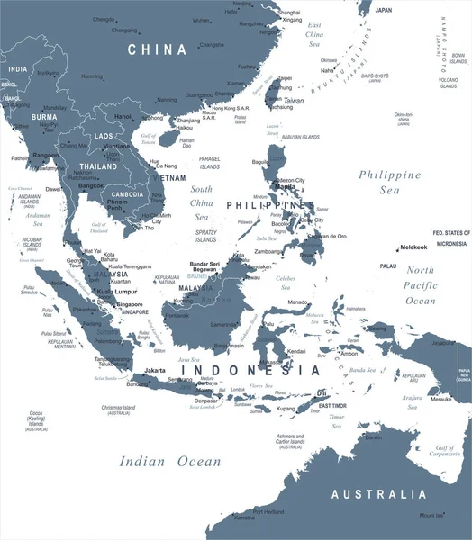
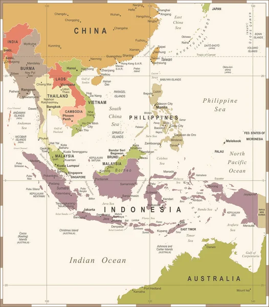
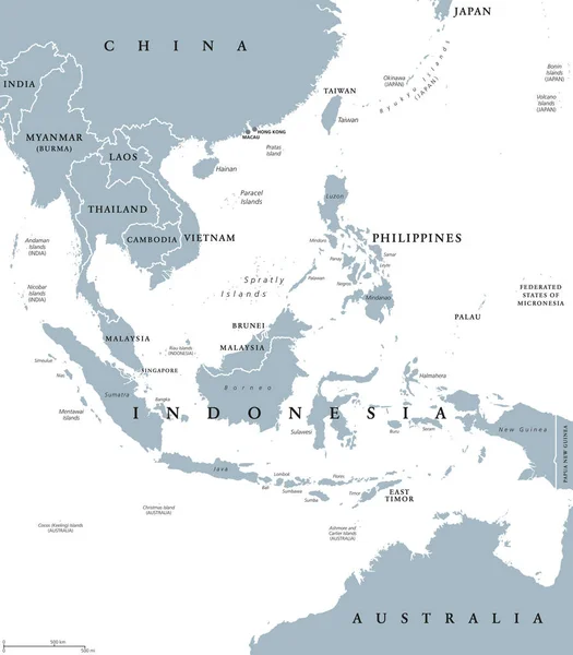
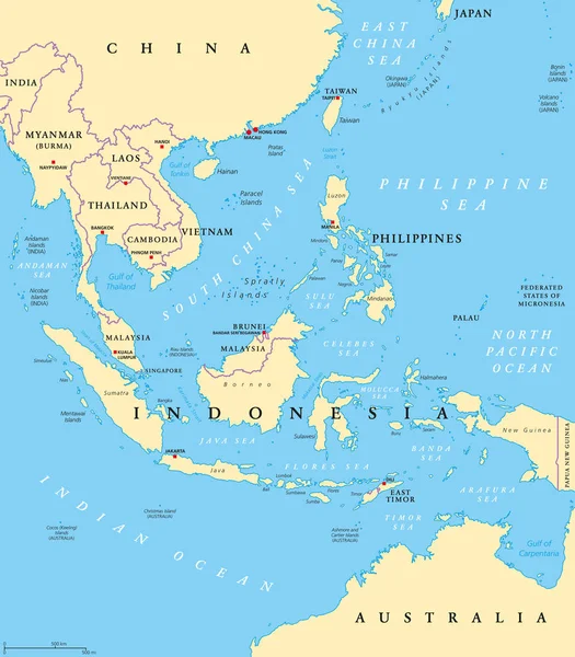
Stock vector Southeast Asia, political map with capitals and borders. Subregion of Asia with countries south of China, east of India, west of New Guinea, north of Australia. English labeling. Illustration. Vector.
Published: Jun.18, 2018 05:38:42
Author: Furian
Views: 906
Downloads: 3
File type: vector / eps
File size: 6.58 MB
Orginal size: 7292 x 8333 px
Available sizes:
Level: silver