Home
Images
Vectors
Videos
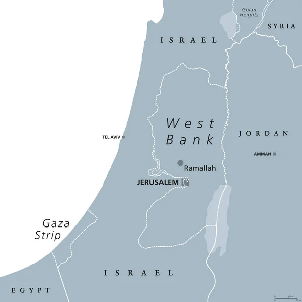
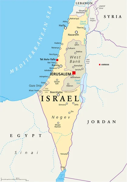
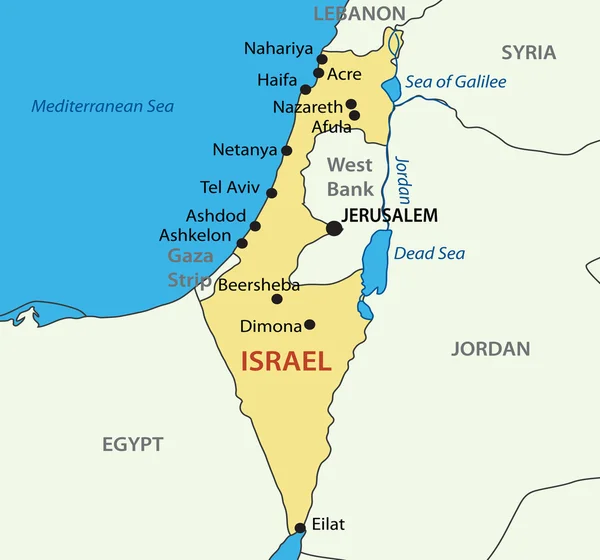
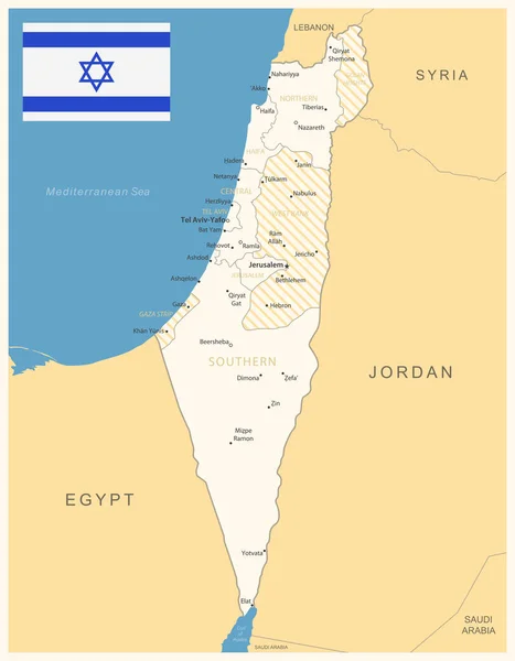
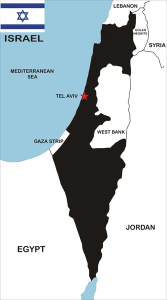
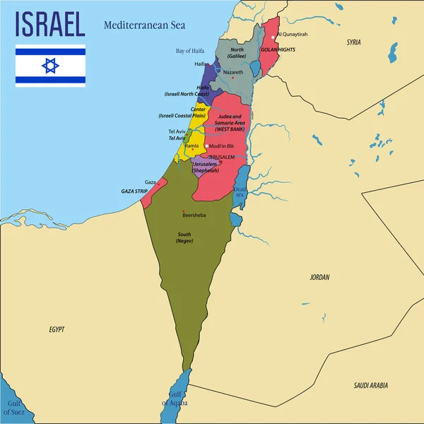
Stock vector State of Palestine Political Map
Published:
Jul.18, 2016 11:40:04
Author:
Furian
Views:
2357
Downloads:
19
File type:
vector
/
eps
File size:
0.94 MB
Orginal size:
6000
x
6000
px
Available sizes:
S
(500 x 500)
M
(1000 x 1000)
L
(2000 x 2000)
XL
(6000 x 6000)
VECT
(6000 x 6000)
EL0
(6000 x 6000)
Level:
silver
Download Vector
Vector topics:
Sea
Capital
East
Strip
Country
Map
Cartography
Geography
Egypt
Land
Mediterranean
State
Middle
Political
Jerusalem
Israel
Jordan
Occupied
Atlas
Palestine
Galilee
Syria
Bethlehem
Designated
Amman
Gaza
Hebron
Jericho
Ramallah
Dead Sea
Tel Aviv
Gaza Strip
West Bank
Nablus
Rafah
Similar stock vectors
West Bank And Gaza Strip Political Map
8033 × 8033
Israel Political Map
6000 × 8596
State Of Israel - Vector Map
3626 × 3387
Israel - Detailed Map With Administrative Divisions And Country Flag. Vector Illustration
6013 × 7720
Israel Political Map Gray
6650 × 9533
Israel Map
3429 × 6155
Vector Highly Detailed Political Map Of Israel With Regions And Their Capitals. All Elements Are Separated In Editable Layers Clearly Labeled.EPS 10
7000 × 7003
Israel - Map And Flag Illustration
3383 × 7475